


Planning a commercial rooftop solar PV system using traditional methods can prove to be challenging. Manually gathering parapet, offset and obstruction measurements is certainly not as efficient as using drones to conduct the site survey which can lead to bottlenecks in the design and installation process.
Drone site surveys for commercial rooftop PV CAD modeling uses drone data to conduct aerial site surveys that allows solar design and engineering teams to accurately plan for installation while also enhancing worker safety. View obstacles on a precise AutoCAD Solar design base inspection map, leverage accurate roof & edge measurements, and remotely confirm project progress.
• Accuracy: Complete solar design accurately the first time with precise aerial drone data and prevent unexpected costs or setbacks later in the project.
• Safety: Leverage aerial data collection to eliminate the safety hazards of manual rooftop surveys.
These rooftop inspections equip solar design teams with all the tools to survey sites efficiently and completing designs correctly the first time while preventing unexpected costs or project delays later on. The preliminary design is hugely important in influencing the final cost of the overall solar development project, providing further evidence why using drones for site surveys to get an accurate design is the optimal method for rooftop PV system construction.
So what is the best solution? Work with a professional drone company that has expertise in this area who can provide the consistent data you need in a safe, efficient and compliant manner. Nationwide professional drone service firm, Skye Link, utilizes an automated flight software to obtain all drone property survey images safely and effectively in order to produce client deliverables such as
2. Detailed Roof Measurements & Edge Annotations PDF report
3. Orthomosiac (.tif)
4. Digital Surface Model (.tif)
5. Point Cloud (.las)
Interested in obtaining a quote or learning more about drone site surveys for commercial rooftop PV CAD modeling?
Talk to our professional team to get your questions answered and begin utilizing the power of drones and aerial data to effectively model rooftops for PV planning & design.


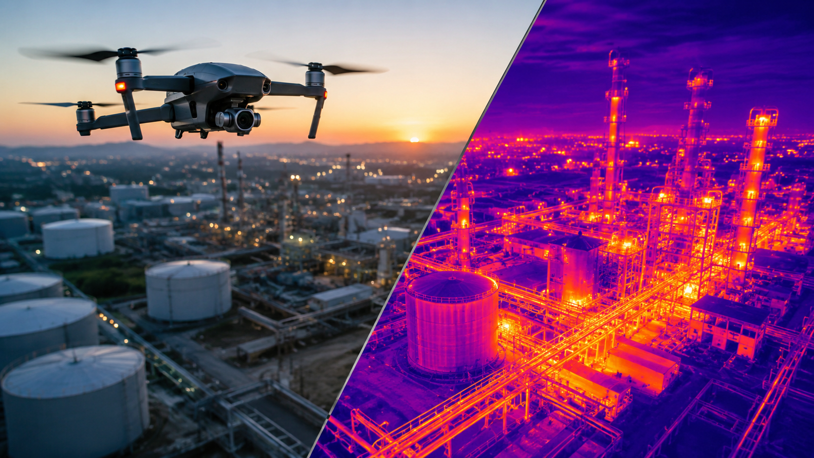
Discover how aerial thermal imaging helps businesses detect issues, improve inspections, reduce costs, and make smarter decisions in 2026.
Read article →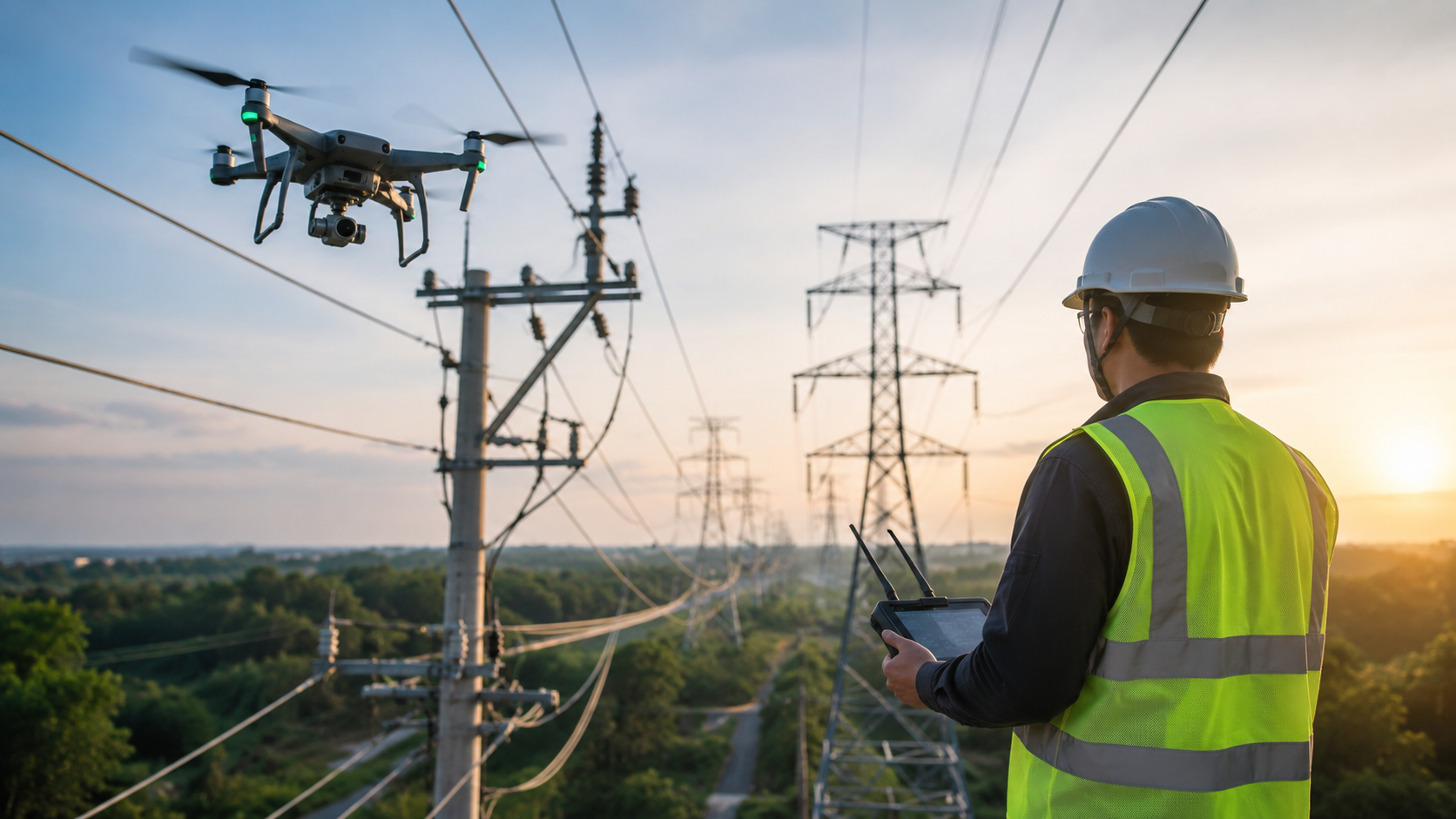
Explore the key benefits of using drones for utility inspections, from improved worker safety and accuracy to lower costs and faster results.
Read article →Share your project details and the Skye Link team will recommend the right scope, deliverables, and next steps - usually within 24 hours.
Your operating partner for managed drone data solutions, serving solar, utility, construction, engineering and commercial real estate teams nationwide.Visit skyelink.org
520 Elliot St, Suite 500, Charlotte, NC 28202
(704) 594-5177
contact@skyelink.org



.svg)


