

This guide explains how drone services for construction help project teams capture accurate site data, track progress, and make faster decisions. You’ll learn the core use cases of construction drone programs, the technologies behind them, and the best practices that keep results reliable from groundbreaking to project closeout.
Construction projects involve constantly shifting conditions — grading changes, materials arrive and move, crews work in parallel across different zones, and deadlines depend on accurate, timely information. Walking a site on foot, taking photos, and writing reports can only capture so much, especially on large or multi-phase projects.
This is where drone services for construction come in. By combining aerial imagery, mapping software, and repeatable flight schedules, drones give project teams a bird’s-eye view of everything happening on site — without the delays of manual inspection.
Whether you’re a general contractor managing multiple trades, an owner tracking investment milestones, or an engineer verifying grading and drainage, drone services for construction offer a faster, more accurate way to stay informed. In this article, we’ll break down what these services include, where they add the most value, and how to get the most reliable results from a drone program.
Drone services for construction are a set of aerial data solutions — flights, mapping, modeling, and reporting — designed to document and support a project throughout its lifecycle. Instead of relying only on ground-level walkthroughs, a drone operator flies the entire site and produces usable outputs such as orthomosaic maps, 3D models, volumetric reports, and progress videos.
These services typically include site mapping, progress monitoring, stockpile and earthwork measurement, safety inspections of hard-to-reach areas, and as-built verification. The result is a digital record of the site that can be reviewed, compared, and shared instantly — cutting down the time needed to confirm what’s actually happening on the ground.
Drone services support construction teams at nearly every stage:
Capturing aerial images is only the first step. Turning that data into something actionable requires the right technology stack.
Orthomosaic Mapping : Orthomosaics stitch together hundreds of individual aerial photos into one high-resolution, geometrically accurate map of the entire site. This makes it easy to compare site conditions over time and share a single, clear visual with the whole project team.
LiDAR Surveying : For projects needing elevation accuracy — grading, drainage design, earthwork calculations — LiDAR-equipped drones capture survey-grade terrain data. This supports topographic mapping, volume surveys, and integration into BIM workflows.
3D Modeling and Photogrammetry : Combining aerial images into 3D models allows teams to visualize structures and terrain in ways flat photos cannot, helping catch design conflicts early.
Compared with traditional site monitoring, drone-based monitoring is a clear upgrade across the board. Manual walkthroughs give way to complete aerial coverage. Paper or photo reports become digital, comparable records. Inspections that once took hours now take minutes of flight time. Difficult progress comparisons turn into easy side-by-side visual tracking. And instead of higher exposure to site hazards, risky areas can be inspected remotely.
Drone services for construction deliver value across the entire project team. Site-wide visibility comes from full aerial coverage captured in a single flight. Progress verification becomes easier with consistent, comparable imagery over time. Stakeholder communication improves through easy-to-share maps, models, and reports. Earthwork accuracy increases through precise volume and grading calculations. Worker safety benefits from fewer manual inspections of elevated or hazardous areas. And schedule management improves with early visibility into delays or rework needs.
For example, a contractor managing a large commercial build can use weekly drone flights to confirm grading is complete, track material stockpiles, and flag issues before they affect the next phase — all without multiple site visits.
To get consistent, reliable results from a construction drone program, teams should:
Construction projects move fast, and outdated or incomplete site information can lead to costly delays and miscommunication. Drone services for construction close that gap by delivering accurate, consistent, and easy-to-share data throughout a project’s lifecycle — from early site assessment to final as-built verification.
By combining aerial mapping, LiDAR surveying, and scheduled flights with a few operational best practices, construction teams can reduce rework, improve safety, and keep every stakeholder aligned on real-time progress.
They are aerial data solutions — including mapping, 3D modeling, and progress reporting — used to document and monitor construction projects from start to finish.
Most teams schedule flights weekly or at key project milestones to keep progress comparisons consistent.
LiDAR provides highly precise elevation data, which is essential for grading, drainage planning, and earthwork volume calculations.
Yes — in the U.S., commercial drone operators must hold an FAA Part 107 certification to legally fly over construction sites.
General contractors, project owners, engineers, and surveyors all benefit from faster, more accurate site visibility.


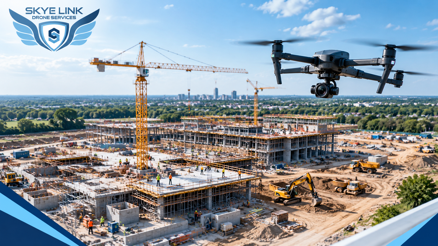
Explore the key benefits of drone filming for construction progress, including better site visibility, project documentation, and progress tracking.
Read article →
Learn how professional drone inspection companies help businesses improve safety, accuracy, efficiency, and inspection results.
Read article →Share your project details and the Skye Link team will recommend the right scope, deliverables, and next steps - usually within 24 hours.
Your operating partner for managed drone data solutions, serving solar, utility, construction, engineering and commercial real estate teams nationwide.Visit skyelink.org
520 Elliot St, Suite 500, Charlotte, NC 28202
(704) 594-5177
contact@skyelink.org