
Existing-conditions data and CAD/BIM-ready outputs for AEC project teams

From topographic surveys and contour generation to point clouds, breaklines, and existing-conditions models, Skye Link delivers data built for design, permitting, and construction coordination... not just raw point clouds.

We manage scoping, field execution, and processing so your architecture, engineering, or construction team receives quality-reviewed, project-ready outputs without coordinating individual pilots or vendors.
deliverables

What you receive

LAS Point Cloud
DTM / DEM / DSM
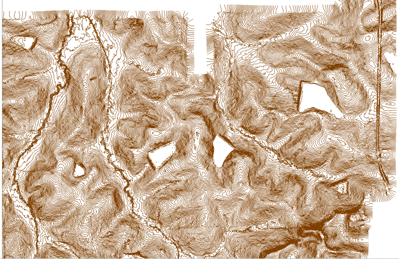
Contour Maps
Orthomosaics
BIM-Ready Models (RVT / IFC)
Breaklines
Volumetric Outputs

Engineering-grade drone LiDAR mapping for confident site planning and design

Reliable design begins with a clear understanding of the terrain. Our drone LiDAR workflows capture detailed elevation and site-feature data to support grading, drainage analysis, corridor design, and other critical engineering decisions.

Our coordinated team handles each project from flight planning through final data preparation. Deliverables are quality-reviewed and organized for use in CAD, GIS, and BIM workflows, helping AEC teams reduce field uncertainty and move into design with confidence.
request AEC LIDAR quote
related

Explore related pages

Aerial Mapping Surveying & Drone Surveying Support
Drone LiDAR Mapping
Constructional Drone Service
All Services
FAQs

Engineering / AEC LiDAR Mapping FAQ

Can Skye Link support survey-certified deliverables?
-
Yes. While Skye Link is not itself a licensed surveying firm, we work with a nationwide network of licensed professional surveyors across all 50 states. When your project requires a stamped survey, boundary determination, or certified deliverables, we coordinate that through our surveyor network so you get everything through a single point of contact.
What accuracy can you achieve with drone LiDAR?
-
Accuracy depends on flight altitude, sensor, and ground control, but typical AEC-grade deliverables achieve vertical accuracies suitable for design-level grading, drainage, and earthwork calculations. We confirm the accuracy tier your project needs during scoping, and use ground control points when certified accuracy is required.
What's the difference between LiDAR and photogrammetry?
-
LiDAR uses laser pulses to capture accurate elevation data even through vegetation, making it ideal for wooded sites and dense tree cover. Photogrammetry stitches overlapping photos into 3D models and orthomosaics — better suited for open sites and visual context. Many AEC projects use both together.
What deliverables do you produce?
-
Standard outputs include classified LAS point clouds, DTM/DEM/DSM surfaces, contour maps, orthomosaics, and CAD-ready DXF/DWG files. For AEC teams, we also deliver BIM-ready models (RVT/IFC), breaklines, and volumetric/earthwork calculations.
Can you deliver data compatible with Civil 3D, Revit, or other design software?
-
Yes. Deliverables are formatted for direct import into Civil 3D, Revit, InfraWorks, and similar AEC design platforms, so your team can move straight from data capture into design without manual conversion.

Get CAD and BIM-ready site data for your next project

Share your site details and accuracy requirements. We'll recommend the right LiDAR or mapping approach and deliver design-ready outputs for your engineering, architecture, or construction team.

request a quote
⚠️
Something went wrong
Please check your internet connection and try again.
