
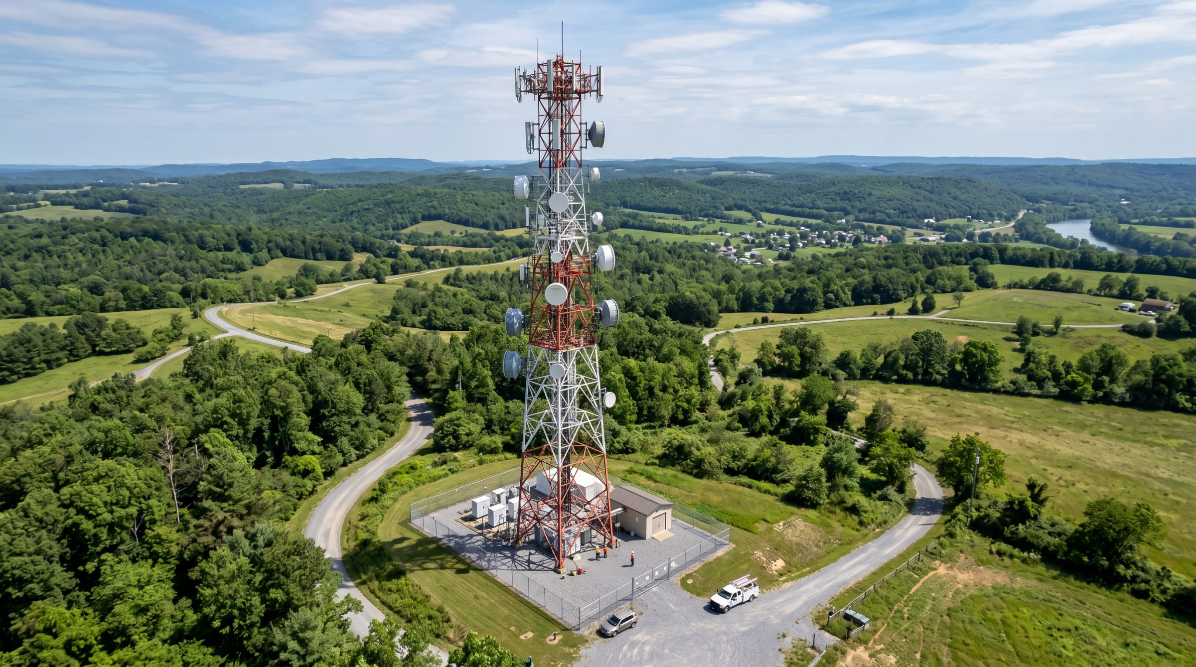
Tower inspections, structural assessments, and site documentation for carriers, tower owners, and installation crews.
Structural tower inspections, RF site surveys, and documentation for wireless carriers, tower owners, and installation crews.

Recurring aerial documentation and progress visibility for active construction and development sites.

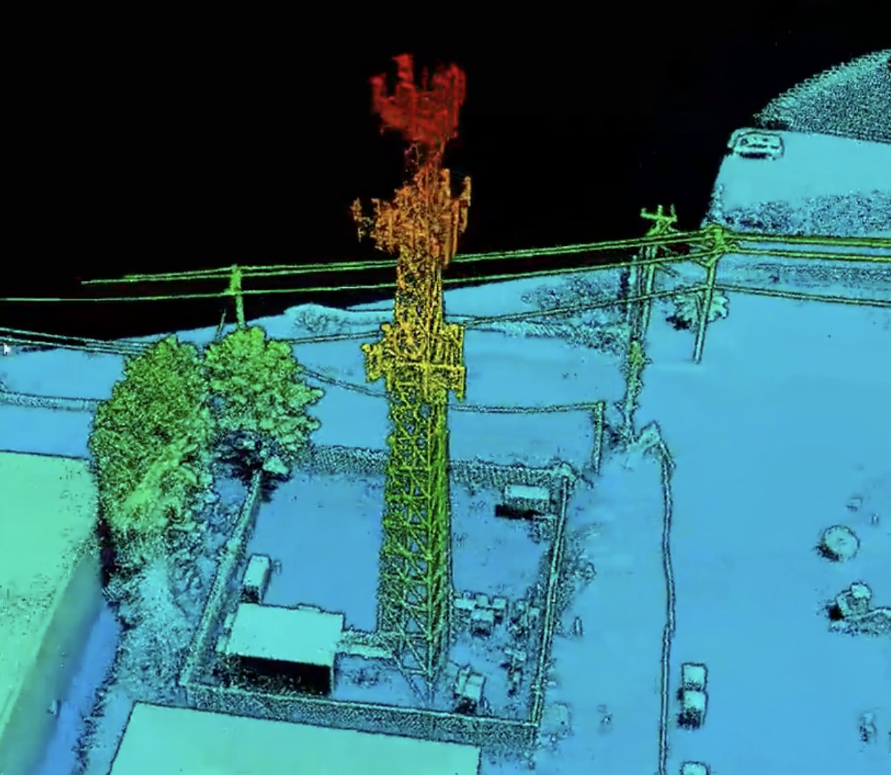
Engineering-grade LiDAR mapping and CAD-ready deliverables for civil engineering, land development, transportation, and infrastructure projects.
Topographic models and CAD-ready outputs for engineering and development teams.

Recurring drone documentation that tracks construction progress, verifies milestones, and keeps project stakeholders informed.
Skye Link provides managed aerial inspection and site survey services for telecommunications infrastructure, delivering structural and site data built for maintenance and colocation decisions. Through a national pilot network and centralized coordination, we support carriers, tower owners, and installation crews with reliable, climb-free inspection data. Yes, we support multi-site tower portfolios.
Share your project details and the Skye Link team will recommend the right scope, deliverables, and next steps - usually within 24 hours.
Your operating partner for managed drone data solutions, serving solar, utility, construction, engineering and commercial real estate teams nationwide.Visit skyelink.org
520 Elliot St, Suite 500, Charlotte, NC 28202
(704) 594-5177
contact@skyelink.org



.svg)