
Site mapping, topography, and volumetrics for developers, land planners, and civil teams, from feasibility through vertical construction.
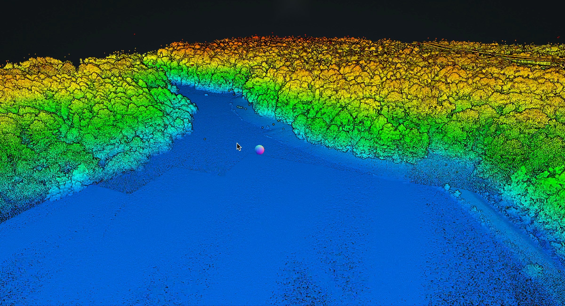
Skye Link provides managed aerial mapping and data services for land development, giving developers and planning teams accurate site information at every stage: feasibility, entitlement, grading, and progress. Our national pilot network and centralized coordination deliver consistent, design-ready data across single sites and multi-parcel programs. Reliable site data early in a project reduces surprises later. Aerial mapping captures topography, existing conditions, and site progress efficiently, giving teams the inputs they need for planning, grading, and stakeholder communication.

Orthomosaics and photogrammetric outputs for engineering development and land-use work.

Recurring aerial documentation and progress visibility for active construction and development sites.

Topographic models and CAD-ready outputs for engineering and development teams.

Drone-captured rooftop data with CAD-ready outputs for solar design and site planning.

Faster and safer inspections for transmission distribution and corridor assets.
Skye Link provides managed aerial mapping and data services for land development, giving developers and planning teams accurate site information at every stage: feasibility, entitlement, grading, and progress. Our national pilot network and centralized coordination deliver consistent, design-ready data across single sites and multi-parcel programs. Reliable site data early in a project reduces surprises later. Aerial mapping captures topography, existing conditions, and site progress efficiently, giving teams the inputs they need for planning, grading, and stakeholder communication.


• Site feasibility and planning with existing-conditions mapping and topography
• Grading and earthwork support through surface models and volumetrics
• Entitlement and permitting documentation with accurate site records
• Progress documentation through recurring aerial capture across development
• Marketing and investor visuals with high-quality site imagery
Share your project details and the Skye Link team will recommend the right scope, deliverables, and next steps - usually within 24 hours.
Your operating partner for managed drone data solutions, serving solar, utility, construction, engineering and commercial real estate teams nationwide.Visit skyelink.org
520 Elliot St, Suite 500, Charlotte, NC 28202
(704) 594-5177
contact@skyelink.org



.svg)