Real-time aerial construction monitoring, site surveys & progress tracking to keep projects on time. Reliable drone data for site managers
Aerial progress documentation that keeps stakeholders aligned
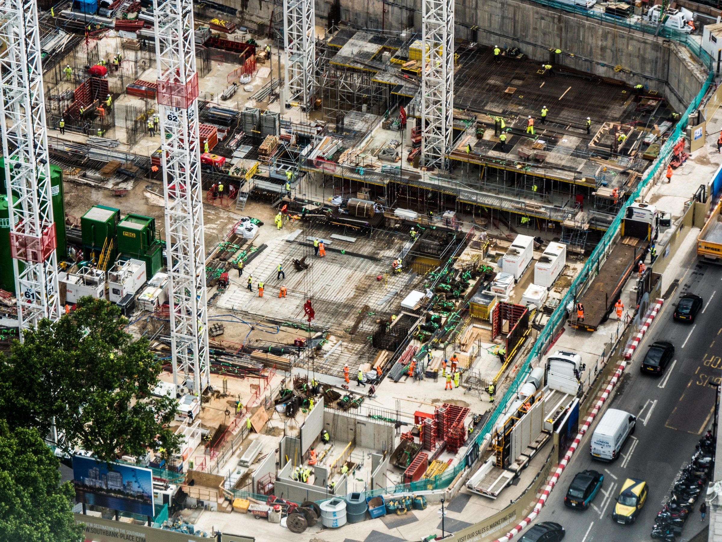
Skye Link supports construction and development teams with recurring aerial monitoring, progress mapping, orthomosaics, and site documentation - on a cadence that matches your project rhythm.
Build a documentation program that stakeholders trust and act on, without managing individual drone vendors or coordinating field logistics.
deliverables
What you receive
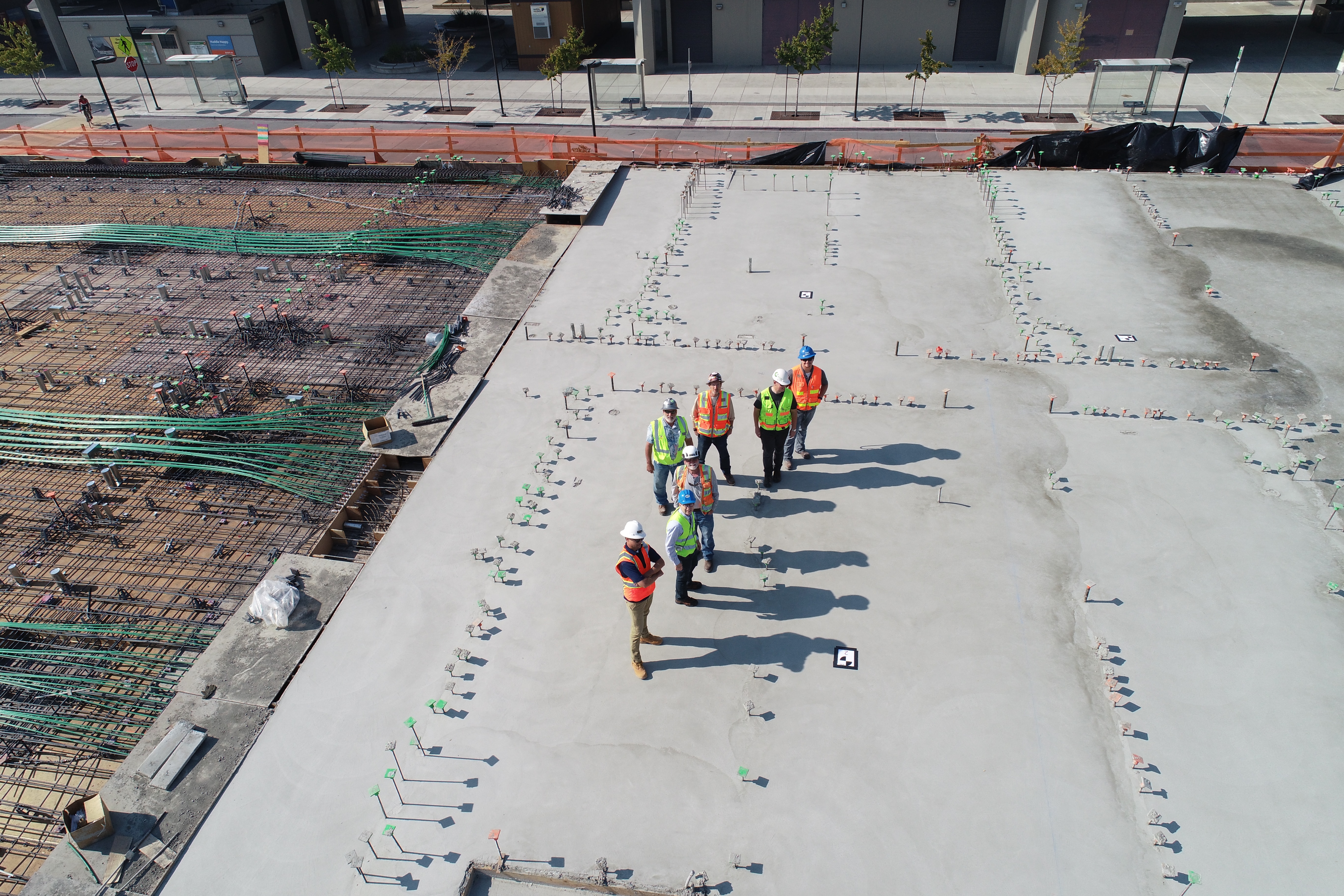
Progress Photo Sets
Aerial Video
Orthomosaics
Progress Reports
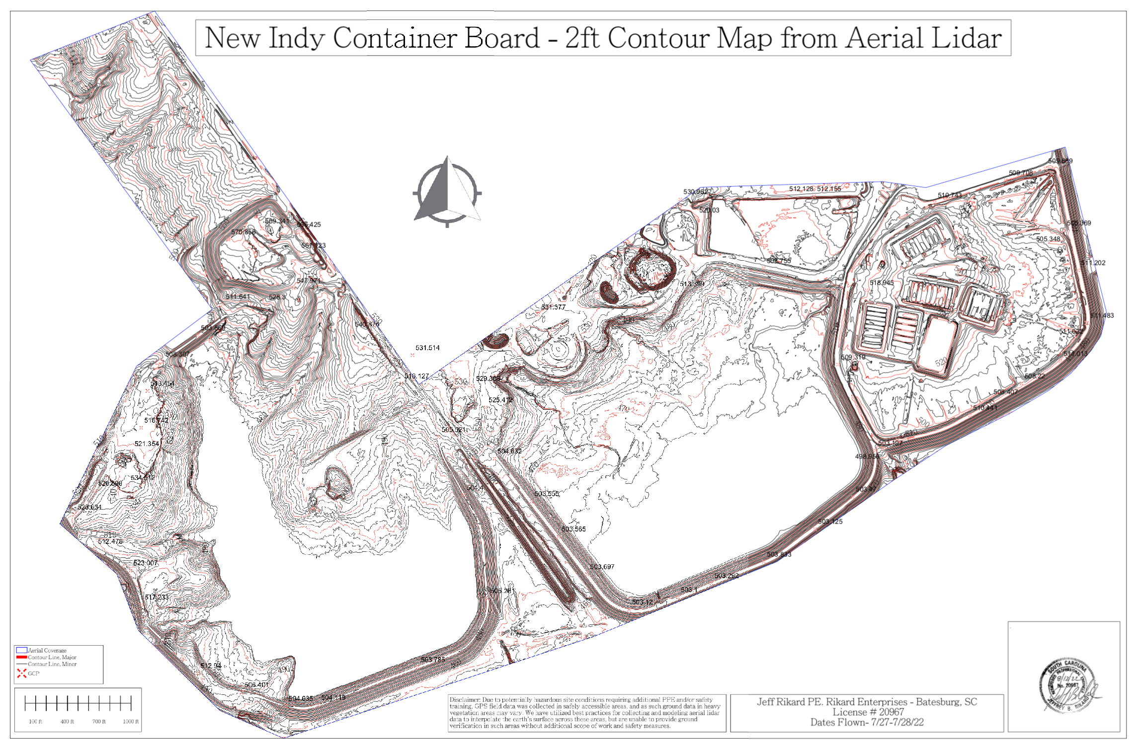
Site Maps
3D Models
CAD Support Files
A monitoring cadence built around how your site actually moves
Capture can be scheduled weekly, biweekly, monthly, or tied to specific construction milestones, so documentation lines up with what stakeholders actually need to see rather than a generic fixed calendar.
Beyond photos and video, deliverables include volumetric measurement for stockpiles and earthwork, giving site managers and surveyors data they can use directly for planning and reporting; all turned around quickly after each flight.