
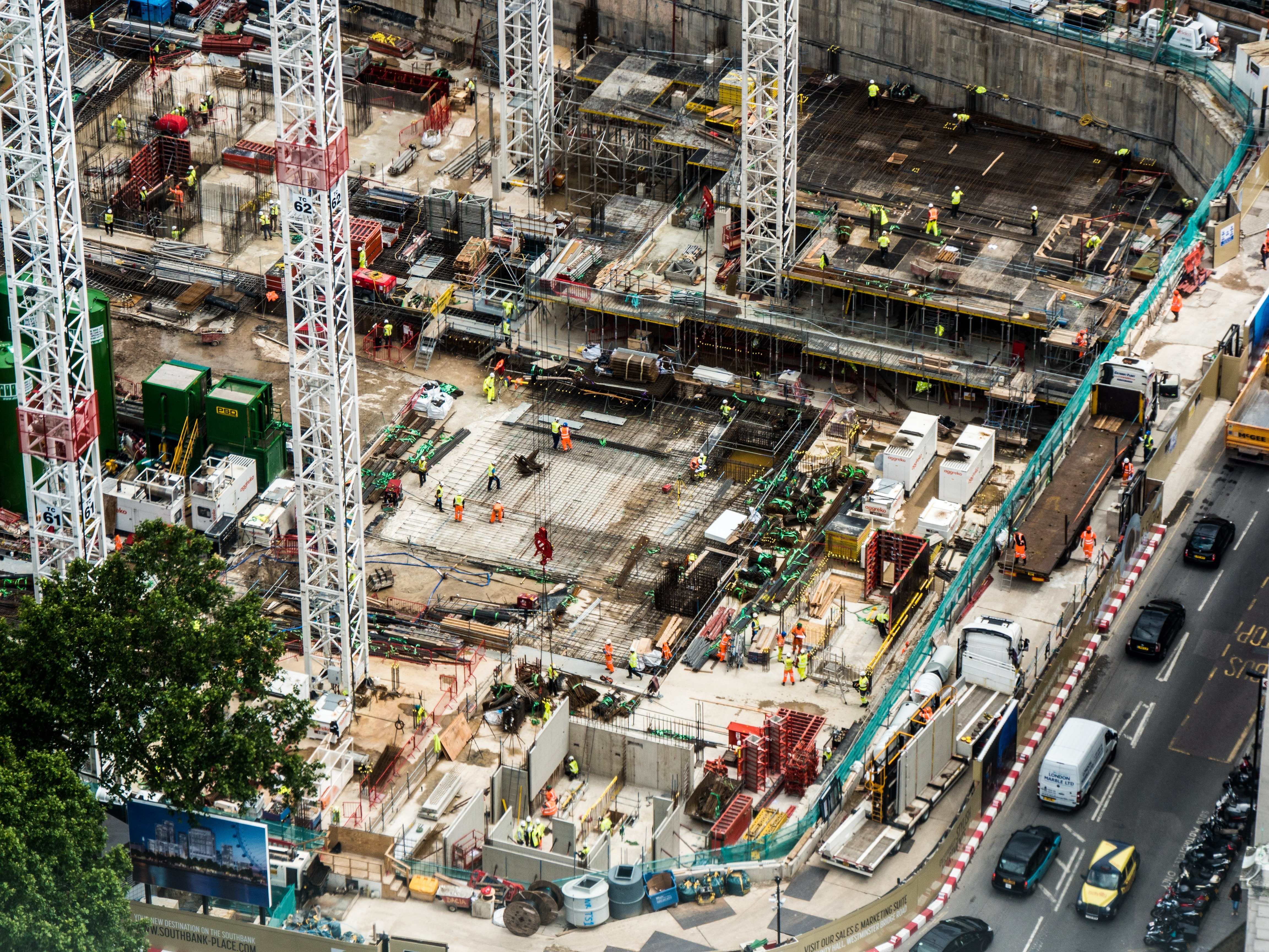
Recurring monitoring, mapping and project documentation for stakeholders, developers, and owners.
Progress documentation, recurring aerial monitoring, mapping, and project visuals for GCs, developers, and owners.

Recurring aerial documentation and progress visibility for active construction and development sites.

Topographic models and CAD-ready outputs for engineering and development teams.

Aerial PV thermal inspections that identify underperforming assets and document system conditions.

Orthomosaics and photogrammetric outputs for engineering development and land-use work.

Drone-captured rooftop data with CAD-ready outputs for solar design and site planning.

Program strategy and operational guidance for teams integrating drones into their workflow.
Skye Link provides managed aerial monitoring and documentation services for construction and development projects, delivering site and progress data built for stakeholder reporting and project management. Through a national pilot network and centralized coordination, we support developers, general contractors, and owners with reliable, recurring site documentation. Yes, we support recurring milestone-based flights.
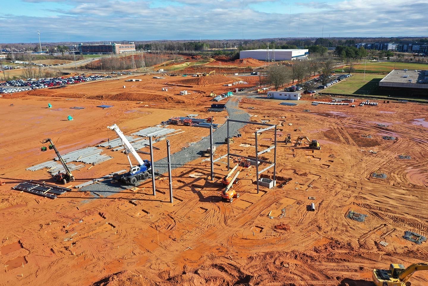

Share your project details and the Skye Link team will recommend the right scope, deliverables, and next steps - usually within 24 hours.
Your operating partner for managed drone data solutions, serving solar, utility, construction, engineering and commercial real estate teams nationwide.Visit skyelink.org
520 Elliot St, Suite 500, Charlotte, NC 28202
(704) 594-5177
contact@skyelink.org



.svg)