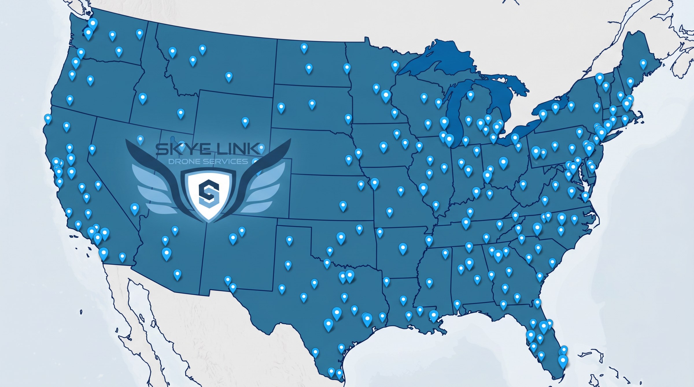
Skye Link helps commercial and enterprise teams capture reliable aerial inspections, mapping, and data through centralized coordination, safe field execution, and deliverables built for real project workflows.

Qualified pilots positioned across the country, deployed and managed through one central team.

Fewer handoff issues. One point of contact from scoping through final delivery.

Disciplined field execution with Part 107 compliance, LAANC authorization, and full insurance on every project.

Reports, models, and data outputs built for engineering, O&M, construction, and asset-management workflows.
Skye Link supports organizations that need more than flight time - they need dependable field execution, responsive communication, and outputs that fit engineering, O&M, construction, and asset-management workflows.

Aerial PV thermal inspections that identify underperforming assets and document system conditions.
Learn More →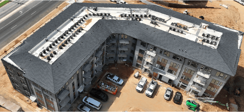
Topographic models and CAD-ready outputs for engineering and development teams.
Learn More →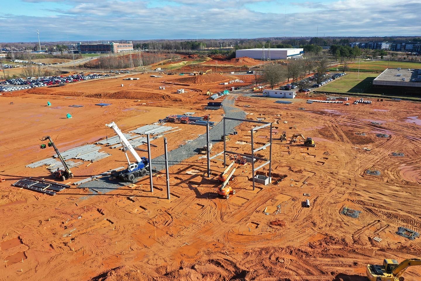
Orthomosaics and photogrammetric outputs for engineering development and land-use work.
Learn More →
Recurring aerial documentation and progress visibility for active construction and development sites.
Learn More →
Faster and safer inspections for transmission distribution and corridor assets.
Learn More →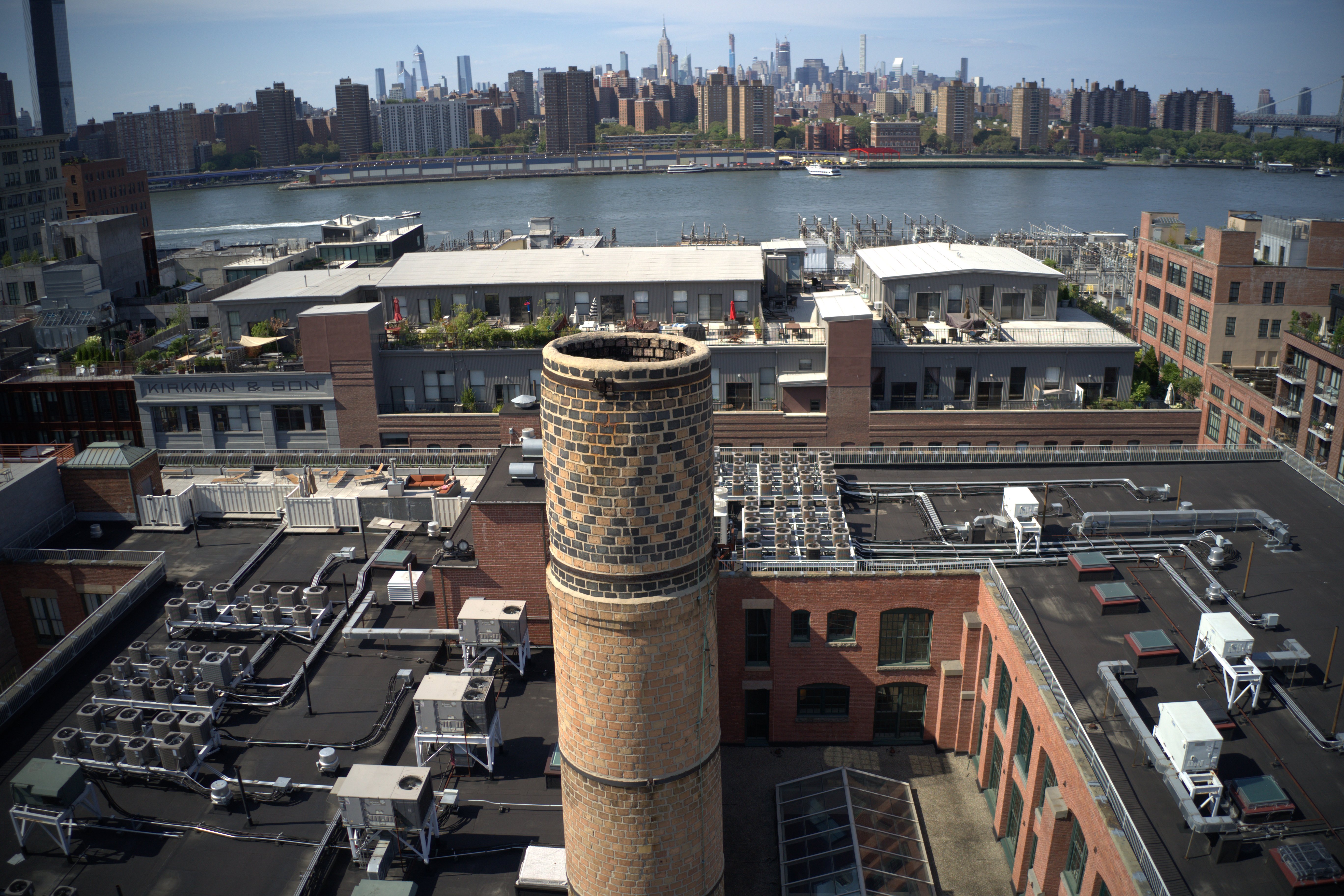
Drone-captured rooftop data with CAD-ready outputs for solar design and site planning.
Learn More →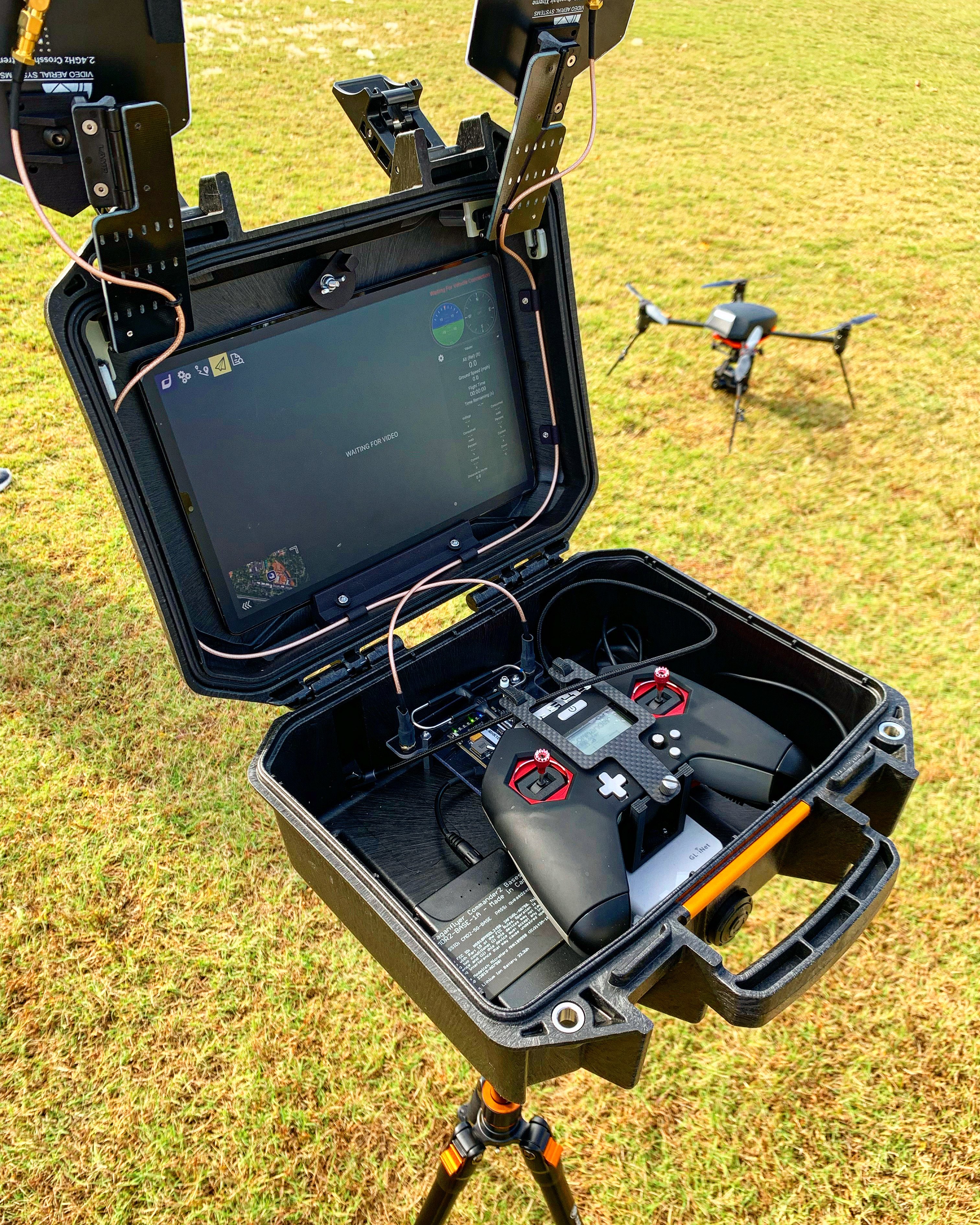
Program strategy and operational guidance for teams integrating drones into their workflow.
Learn More →
High-resolution drone inspections that identify blade damage, lightning strikes, erosion, cracking, and maintenance issues without taking technicians onto the blades.
Learn More →
Drone roof inspections for commercial buildings, insurance documentation, construction verification, and preventative maintenance.
Learn More →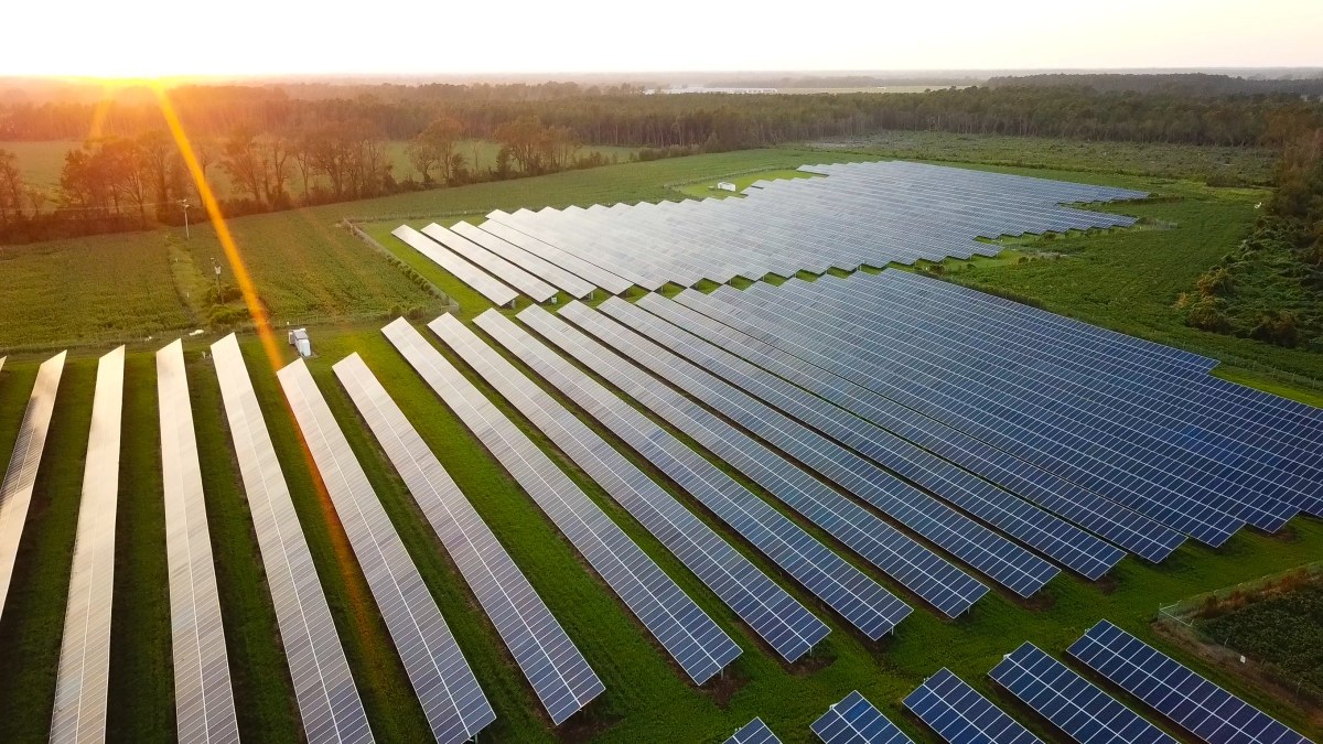
Recurring drone documentation that tracks construction progress, verifies milestones, and keeps project stakeholders informed.
Learn More →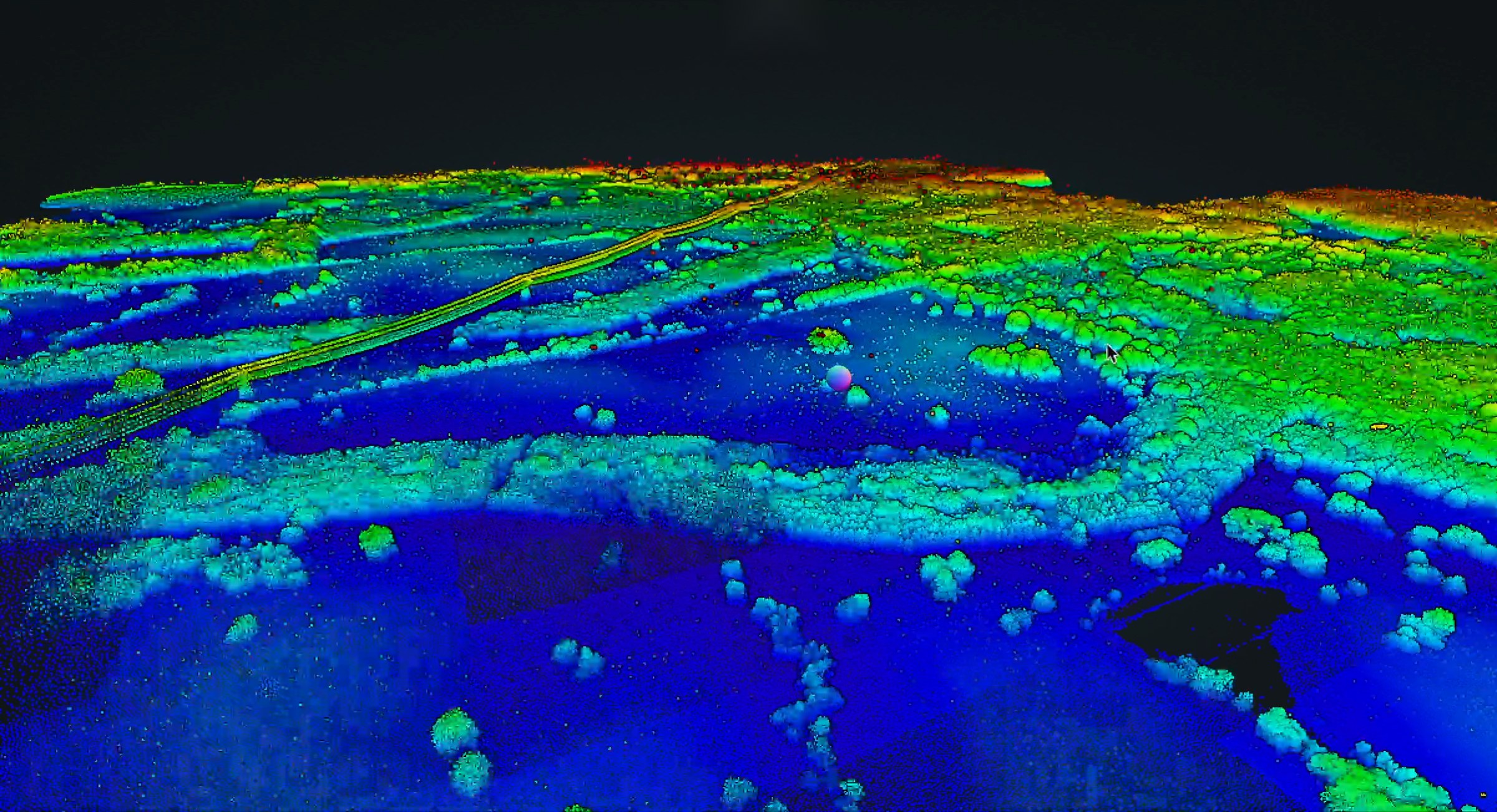
Engineering-grade LiDAR mapping and CAD-ready deliverables for civil engineering, land development, transportation, and infrastructure projects.
Learn More →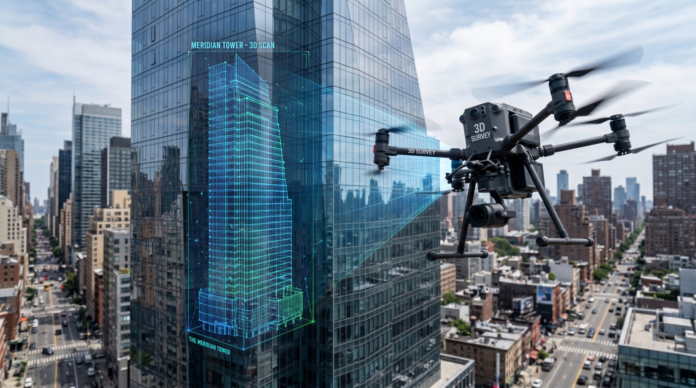
Drone facade inspection services that detect cracking, spalling, and water intrusion — a faster, safer alternative to scaffolding or swing-stage access for building envelope compliance, insurance documentation, and preventative maintenance.
Learn More →
Aerial cinematography, location scouting imagery, and production support for film crews, studios, and content creators.
View Industry →
Infrastructure mapping, facility inspections, and site documentation for municipalities, agencies, and public works departments.
View Industry →
Facility inspections, roof assessments, and facade condition surveys for industrial plants, warehouses, and manufacturing sites.
View Industry →
Tower inspections, structural assessments, and site documentation for carriers, tower owners, and installation crews.
View Industry →
Site mapping, topography, and volumetrics for developers, land planners, and civil teams, from feasibility through vertical construction.
View Industry →
Blade, tower, and thermal inspections for wind farm owners, operators, and O&M teams, captured safely and delivered as decision-ready reports.
View Industry →
Corridor inspection, asset visibility, thermal review for utilites and infrastructure operator.
View Industry →
Portfolio inspections, construction verification, and documentation or PV developers, IPPs, and O& teams.
View Industry →
Topo, LiDAR, orthomosaics, and CAD-ready deliverables for engineering firms and surveyors.
View Industry →
Roof inspections, imagery, and facility condition documentation for CRE owners.
View Industry →
Recurring monitoring, mapping and project documentation for stakeholders, developers, and owners.
View Industry →
Crop health monitoring, field mapping, irrigation analysis, and precision agriculture support for farms and agribusiness.
View Industry →We scope carefully, communicate clearly, and stay engaged through final handoff - so your team has fewer coordination issues and more confidence in the outcome.
Share your project details - service, location, timeline, deliverables, and accuracy requirements. We recommend the right approach and confirm scope.
Skye Link handles planning, pilot deployment, airspace compliance, and field operations - keeping you informed at every stage.
Every output - imagery, models, thermal findings, CAD files, reports -0 is reviewed against project specs before delivery.
The data your teams actually use - not just raw footage.
10,000+
Projects completed
100%
customer satisfaction
24–48h
Quote turnaround
3,500+
Part 107 licensed & insured
Skye Link's thermal inspection report gave our O&M team a clear remediation priority list across a multi-site portfolio.
- Solar Asset Manager, Renewable IPP
Professional coordination end-to-end. Deliverables came back exactly in the format our engineers needed.
- Project Manager, EPC Firm
Recurring aerial documentation has made our construction reporting faster and far more credible with stakeholders.
- Director of Operations, GC
Tell us about your project and the Skye Link Drones team will recommend the right scope, deliverables, and next steps, usually within 24 hours.
Your operating partner for managed drone data solutions, serving solar, utility, construction, engineering and commercial real estate teams nationwide.Visit skyelink.org
520 Elliot St, Suite 500, Charlotte, NC 28202
(704) 594-5177
contact@skyelink.org



.svg)