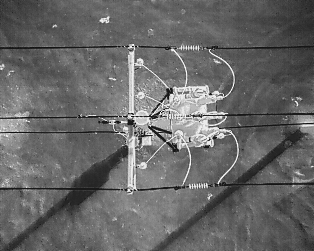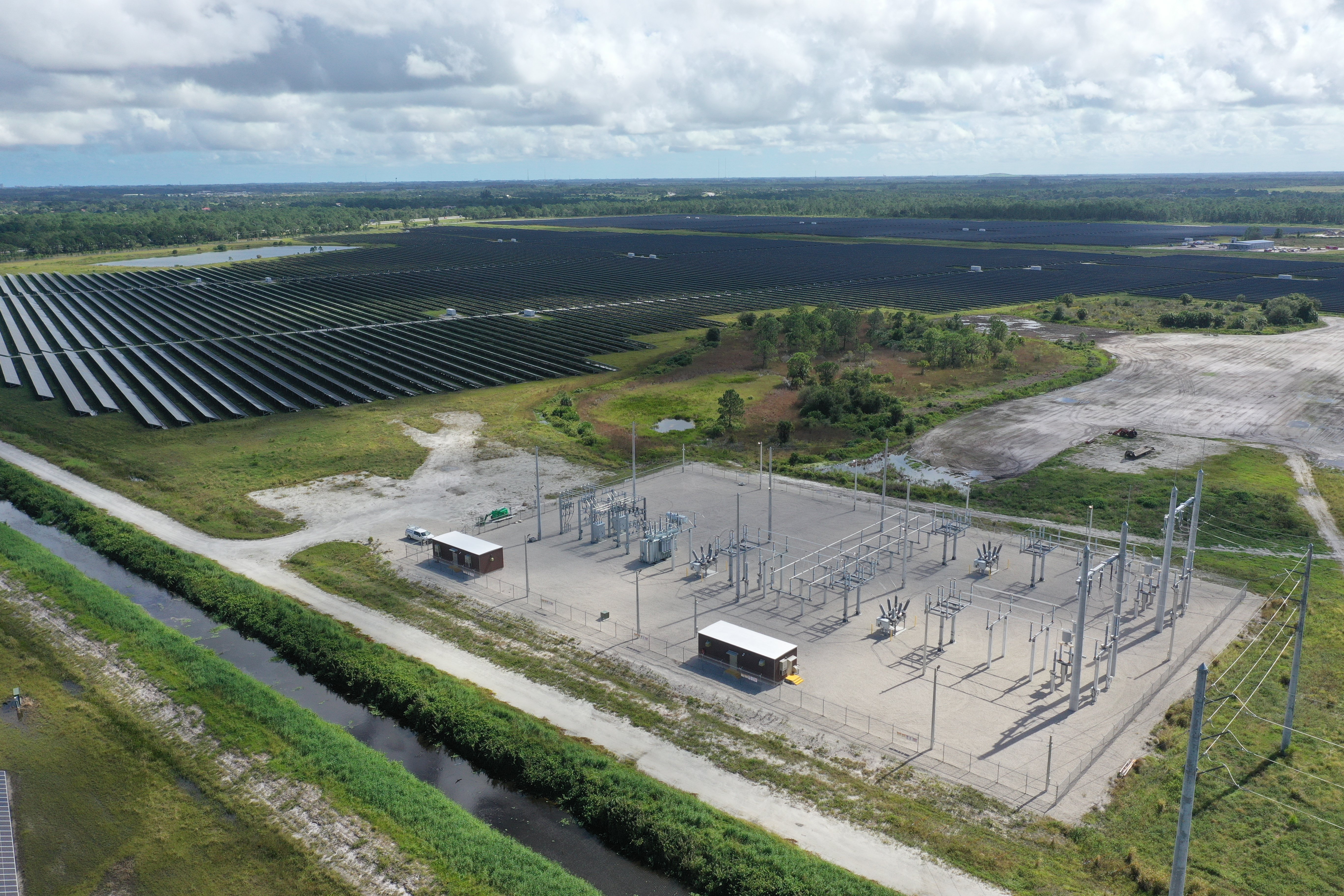
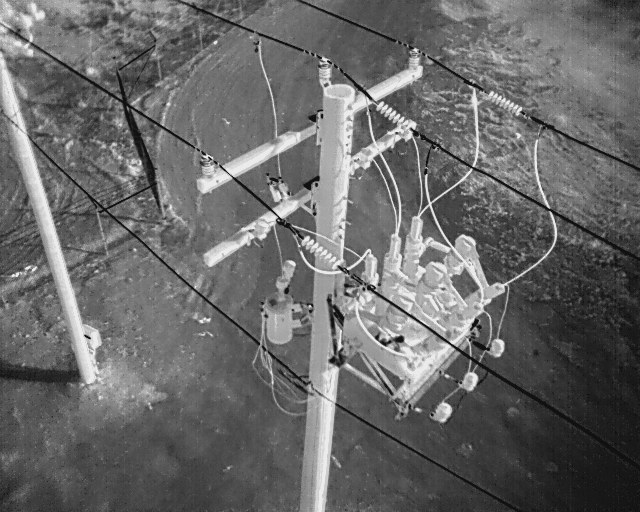
Skye Link provides managed aerial inspection support for utility assets, transmission and distribution corridors, and infrastructure systems — replacing risky and time-intensive field assessments with efficient drone-based capture and standardized reporting.
We coordinate inspection logistics, airspace compliance, and deliverable production centrally so your operations team gets consistent results across regions.
deliverables
What you receive
Inspection Imagery
Annotated Reports
Map Layers
Thermal Findings
Location-Tagged Defects
Standardized reporting your operations team can act on
Every inspection is documented with location-tagged defects and annotated imagery in a consistent format, so asset management teams can compare findings across circuits, regions, and inspection cycles.
Thermal, and visual imagery can be captured simultaneously. We support rapid-turnaround storm response inspections when conditions allow; helping crews prioritize dispatch after major weather events.