

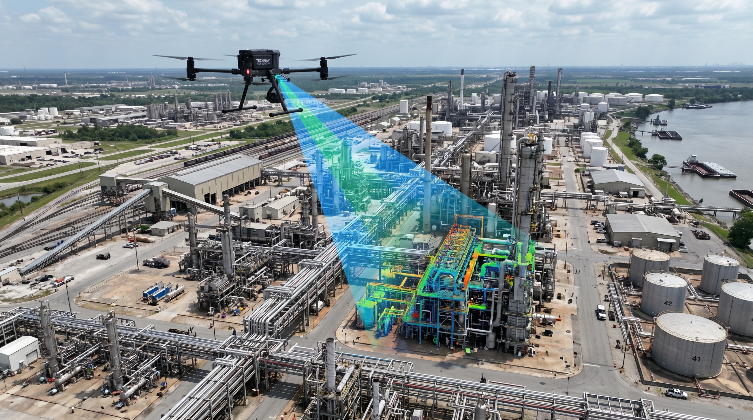
Facility inspections, roof assessments, and facade condition surveys for industrial plants, warehouses, and manufacturing sites.
Rooftop and facade inspections, site mapping, and condition documentation for industrial plants, warehouses, and manufacturing facilities.

Orthomosaics and photogrammetric outputs for engineering development and land-use work.

Drone facade inspection services that detect cracking, spalling, and water intrusion — a faster, safer alternative to scaffolding or swing-stage access for building envelope compliance, insurance documentation, and preventative maintenance.

Engineering-grade LiDAR mapping and CAD-ready deliverables for civil engineering, land development, transportation, and infrastructure projects.
Skye Link provides managed aerial inspection and mapping services for industrial and facilities teams, delivering condition data built for maintenance planning and capital projects. Through a national pilot network and centralized coordination, we support plant operators, warehouse owners, and manufacturing facilities with reliable, recurring inspection data. Yes, we support multi-site portfolios.

Share your project details and the Skye Link team will recommend the right scope, deliverables, and next steps - usually within 24 hours.
Your operating partner for managed drone data solutions, serving solar, utility, construction, engineering and commercial real estate teams nationwide.Visit skyelink.org
520 Elliot St, Suite 500, Charlotte, NC 28202
(704) 594-5177
contact@skyelink.org



.svg)