
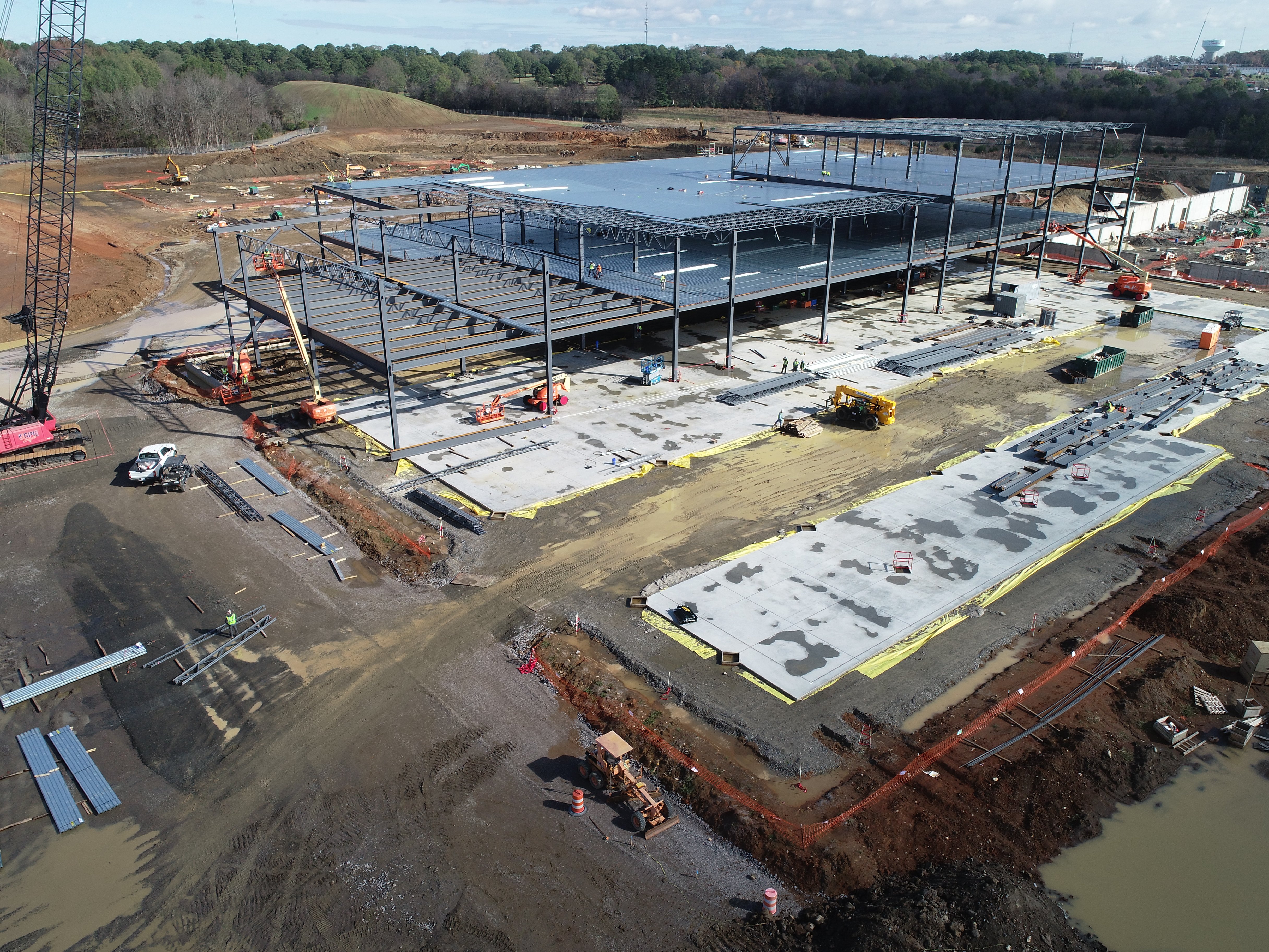
Vertical expertise across the sectors that rely on aerial data most.
Skye Link helps commercial and enterprise teams capture reliable aerial inspections, mapping, and data through centralized coordination, safe field execution, and deliverables built for real project workflows.

Coordinated pilot deployment across all 50 states with centralized project management.

Part 107 certified, LAANC authorized, fully insured. Every flight, every site.

Outputs formatted for engineering, O&M, construction, and asset management workflows.

Standardized capture, processing, and QA whether it is 1 site or 500.

LiDAR, Thermal, Photogrammetry. All matched to your accuracy, and formatted deliverable requirements.

Proposals within 24–48 hours. Deliverables on your timeline, not ours.
Share your project details and the Skye Link team will recommend the right scope, deliverables, and next steps - usually within 24 hours.
Your operating partner for managed drone data solutions, serving solar, utility, construction, engineering and commercial real estate teams nationwide.Visit skyelink.org
520 Elliot St, Suite 500, Charlotte, NC 28202
(704) 594-5177
contact@skyelink.org



.svg)


