


Solar construction progress monitoring is a vital part of any solar development project. By tracking the progress of construction, solar developers can ensure that their projects are on track and identify any potential issues early on.
Using drones for solar construction progress monitoring offers a number of advantages over other methods of progress monitoring. On-site inspections can be costly and time-consuming, while satellite imagery can be slow to update. Therefore, drone solar construction monitoring provides a happy medium between these two extremes, offering real-time updates at a fraction of the cost and time.
Solar developers can use drone solar construction monitoring to obtain data that would be otherwise difficult or impossible to collect. For example, drones can be used to measure solar panel installation progress, track the movement of construction equipment, measure stockpile volumetrics and assess site conditions after inclement weather.
These regular drone inspections equip solar development & constructions teams with all the tools to survey sites efficiently and confirm progress while preventing unexpected costs or project delays later on.
Easily visualize and monitor the site remotely to keep all project stakeholders informed, confirm contractor progress, and keep construction moving on schedule.
Work with a professional drone company that has expertise in this area who can provide the consistent data you need in a safe, efficient and compliant manner. Nationwide professional drone service firm, Skye Link, utilizes an automated flight software to obtain all drone property survey images safely and effectively in order to produce client deliverables such as
Interested in obtaining a quote or learning more? Let’s Connect!
Talk to our professional team to get your questions answered and begin utilizing the power of drones and aerial data to effectively conduct roof site surveys.


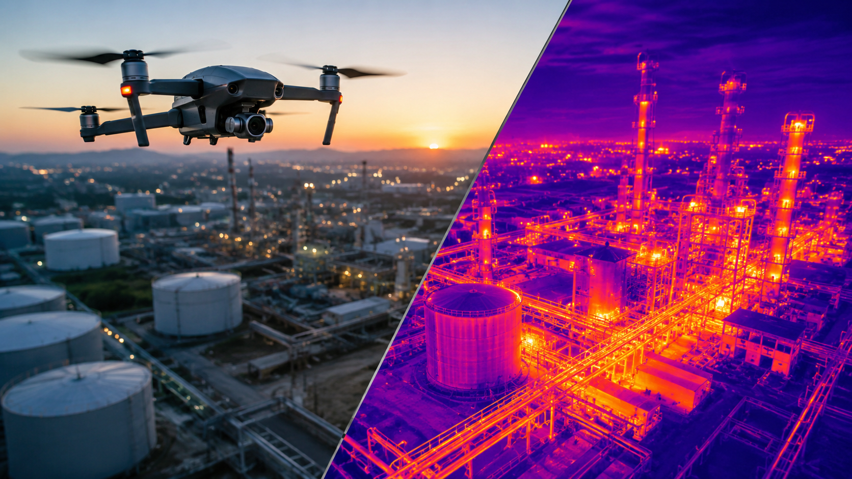
Discover how aerial thermal imaging helps businesses detect issues, improve inspections, reduce costs, and make smarter decisions in 2026.
Read article →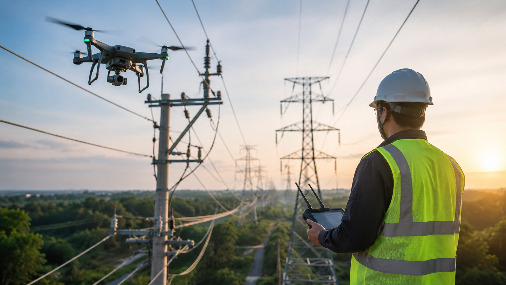
Explore the key benefits of using drones for utility inspections, from improved worker safety and accuracy to lower costs and faster results.
Read article →Share your project details and the Skye Link team will recommend the right scope, deliverables, and next steps - usually within 24 hours.
Your operating partner for managed drone data solutions, serving solar, utility, construction, engineering and commercial real estate teams nationwide.Visit skyelink.org
520 Elliot St, Suite 500, Charlotte, NC 28202
(704) 594-5177
contact@skyelink.org



.svg)


