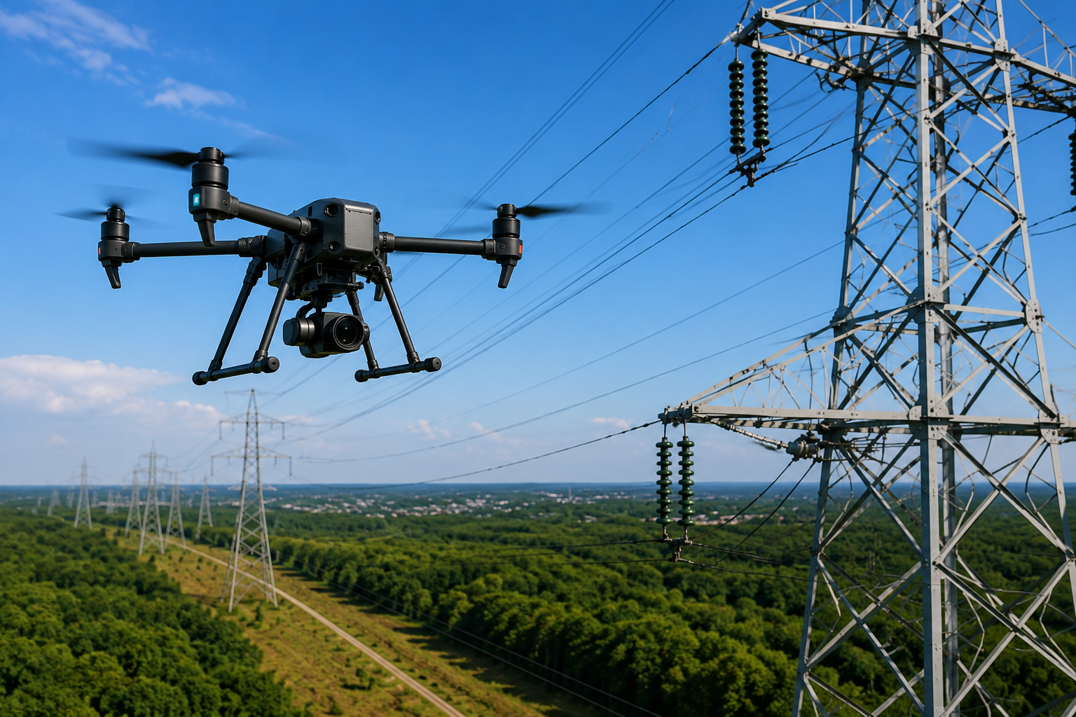
This guide will explain the way the Aerial Utility Inspection is performed to determine its importance in 2026 and the way drone technology will help utility companies increase the safety of their inspections, the quality of inspections, and their maintenance plan. Key Takeaways
Every utility asset has a lifespan, but the difference between reliable service and an unexpected outage often comes down to one thing: finding problems early.
According to the U.S. Department of Energy (DOE), modern grid technologies and more effective monitoring of assets are helping utilities in improving reliability and decrease interruptions to service. As infrastructure continues to age, Aerial Utility Inspection has become one of the most effective ways to inspect critical assets safely and efficiently.
Using advanced drones with thermal sensors, high-resolution cameras, and mapping technology, utilities can check substations, power lines, and transmission towers much faster than the traditional method while also collecting precise data to plan maintenance.
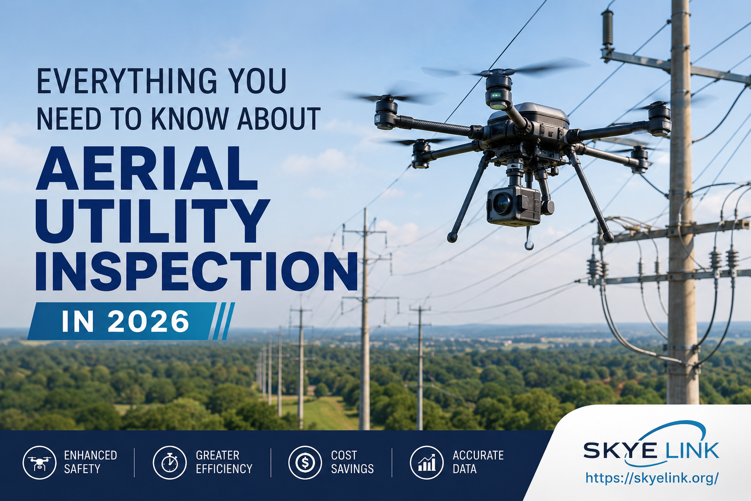
Aerial Utility Inspection is the process of inspecting utility infrastructure with commercial drones instead of relying only on manual field inspections. Drones capture detailed images and inspection data while allowing crews to remain safely on the ground.
These inspections commonly include:
Instead of climbing structures or using helicopters for routine assessments, utilities can collect accurate visual information quickly and safely. This makes Utility Infrastructure Inspection more efficient while supporting better maintenance decisions.
Another benefit is the consistency. Digital inspection records enable engineers to evaluate the condition of assets in time, which helps detect subtle changes before they lead to costly repairs.
Utility companies are responsible for maintaining large networks of critical infrastructure. Traditional inspections are still valuable, but they often require more labor, more time, and greater exposure to safety risks.
A professional Drone Utility Inspection offers several advantages.
Inspectors don’t have to climb each pole or tower to inspect equipment. Drones take detailed images from multiple angles. Crews remain in safe working positions.
A drone is able to inspect long corridors of utility lines in a much shorter time than conventional ground inspections. Data collection that is faster also allows maintenance teams to examine results earlier.
The use of high-quality images, thermal data, and mapping information allows engineers to identify damaged hardware, corrosion, vegetation growth, and overheating components early on.
Rather than reacting to failures, utilities can schedule maintenance based on actual asset conditions.
Today’s inspection drones do much more than take photographs. They combine several technologies to produce detailed inspection reports.
Infrared cameras can detect unusual patterns of heat, which could be a sign of broken wires, damaged machinery, or components that are overloaded. Since heat typically manifests before obvious damage, thermal inspections can help to identify problems earlier.
Aerial imagery that is detailed allows engineers to look at conductors, insulators, structural and hardware components without disrupting their work.
Many inspection providers use software to organize inspection data and highlight areas that require closer review. Engineers then verify the findings and prioritize maintenance activities.
By using LiDAR along with a power-line drone survey, accurate three-dimensional models can be created to help manage vegetation, plan corridors, and monitor infrastructure.
| Technology | Primary Purpose | Main Benefit |
| RGB Cameras | Visual inspection | Detailed asset images |
| Thermal Cameras | Heat detection | Early fault identification |
| LiDAR | 3D mapping | Accurate terrain and corridor analysis |
| AI Software | Data review | Faster maintenance planning |
Most inspections follow three straightforward steps.
The inspection team examines the flight routes as well as the weather, security measures, and the assets that require inspection.
Drones can take high-resolution photos, thermal images, GPS data, and power Line drones surveys information when they fly along utility corridors.
Data gathered by engineers is reviewed, and reports are written that describe equipment conditions, maintenance priorities, and recommended repairs.
By using quantifiable inspection information, utilities can make educated maintenance decisions.
The right inspection method depends on the project, but drones offer clear operational advantages.
| Traditional Inspection | Drone Utility Inspection |
| Requires climbing structures | Remote inspection from the ground |
| Slower inspections | Faster data collection |
| Higher labor requirements | Smaller field teams |
| Greater safety risks | Improved worker safety |
| Limited digital records | High-resolution inspection reports |
Traditional inspections remain important for repair work, but drones often provide the information needed before crews enter the field.
Imagine a local electric utility conducting an annual Utility Infrastructure Inspection on the transmission system. When it was time for a Thermal Drone Inspection, some connectors had higher temperatures than usual, even when they appeared normal in a visual inspection.
It prevents malfunctioning equipment and reduces the risk of sudden outages when maintenance personnel replace the affected parts during scheduled service work. This illustration shows how aerial inspections can be used to aid proactive maintenance, not emergency repairs.
To get the best results from your inspection program:
Small planning steps can lead to better maintenance decisions and improved asset performance.
Reliable utility infrastructure depends on accurate information. Aerial Utility Inspection gives utilities a safer and more efficient way to monitor critical assets while improving maintenance planning and reducing operational risks.
Utilizing the latest drone technology with thermal drones for inspection and maps tools and seasoned analysis, businesses can detect problems earlier, prolong the lifespan of their assets, and boost the quality of service.
If your business is considering the future Utility Infrastructure Inspection, working with an experienced company, Skye Link can help you collect reliable information, prioritize maintenance, and ensure that your infrastructure is operating at its peak.
It uses commercial drones equipped with cameras and sensors to inspect utility assets safely while collecting detailed visual and thermal data.
They improve worker safety, reduce inspection time, and provide higher-quality inspection data for maintenance planning.
It identifies overheating equipment, loose electrical connections, damaged components, and other hidden issues before failures occur.
Electric utilities, renewable energy companies, engineering firms, municipalities, and infrastructure operators all benefit from aerial inspections.
Inspection schedules depend on asset condition, weather exposure, and maintenance requirements, but many organizations perform routine inspections annually or after severe weather events.


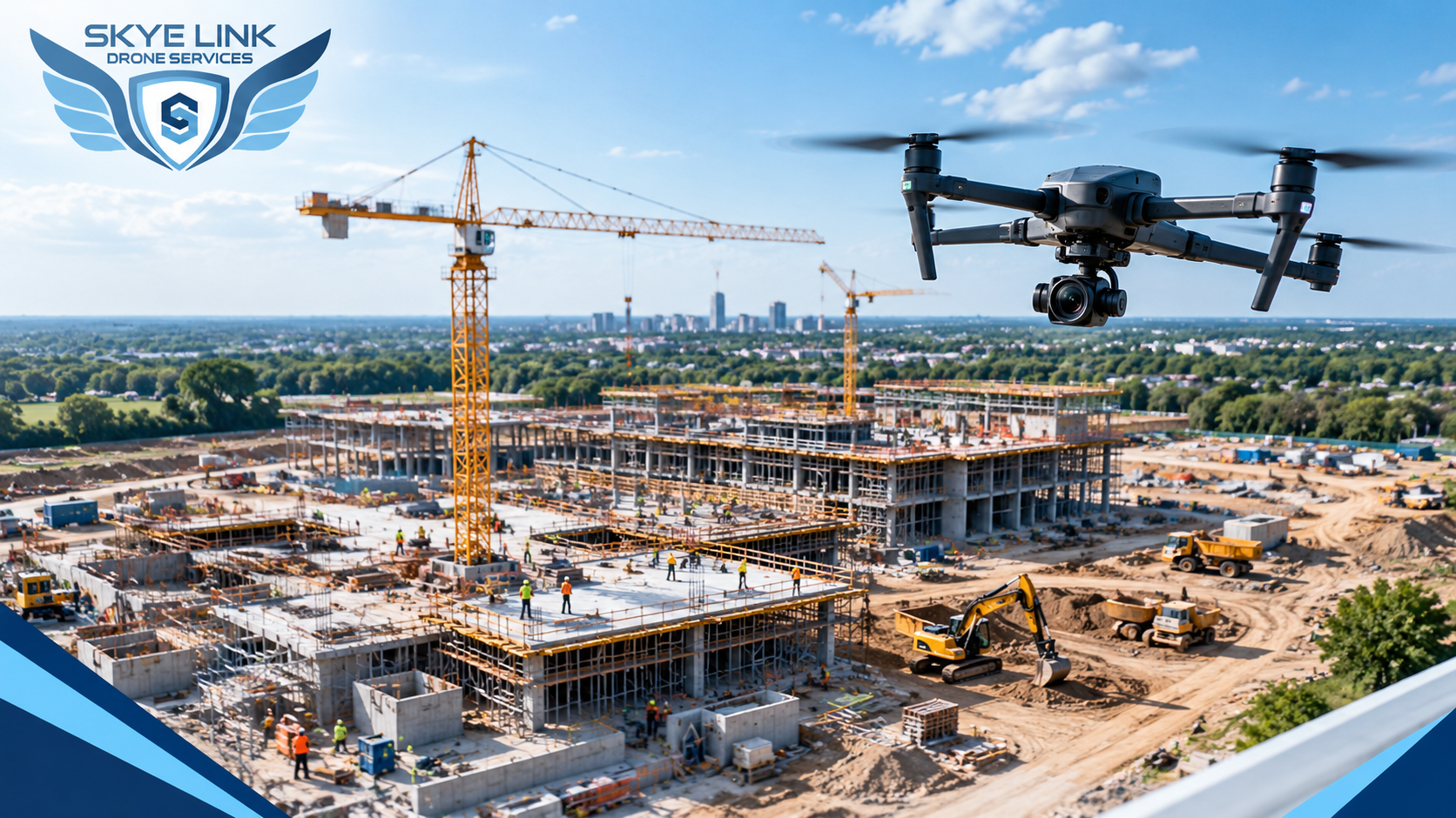
Explore the key benefits of drone filming for construction progress, including better site visibility, project documentation, and progress tracking.
Read article →
Learn how professional drone inspection companies help businesses improve safety, accuracy, efficiency, and inspection results.
Read article →Share your project details and the Skye Link team will recommend the right scope, deliverables, and next steps - usually within 24 hours.
Your operating partner for managed drone data solutions, serving solar, utility, construction, engineering and commercial real estate teams nationwide.Visit skyelink.org
520 Elliot St, Suite 500, Charlotte, NC 28202
(704) 594-5177
contact@skyelink.org



.svg)