Objective
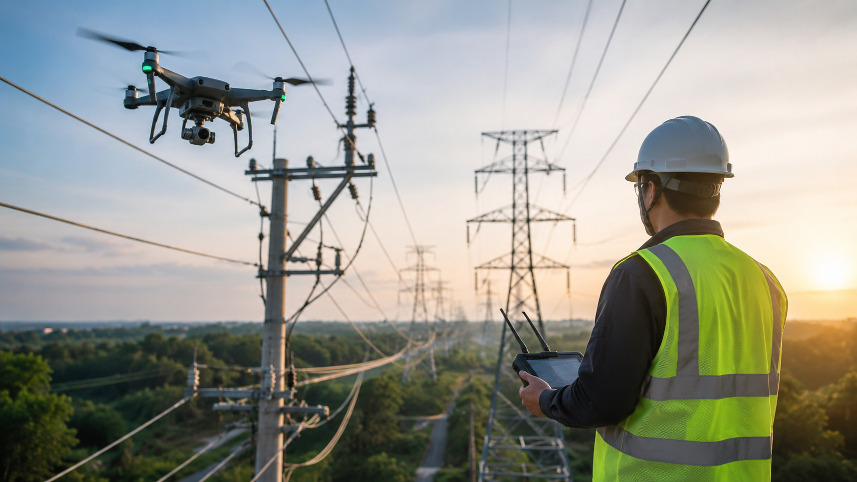
This guide explains how aerial utility inspection helps utility companies, engineers and asset managers, monitor power lines, substations, pipelines, and towers with more safety and accuracy. You’ll pick up how drone technology actually reduces the hazards linked to routine climbing and manual inspections, while also bringing down operating costs and boosting the quality of the information that feeds maintenance decisions. In other words it is not just easier, it is also more consistent and better pointed.
Key Takeaways
Utility infrastructure spans huge distances—like transmission towers, substations, pipelines, and those distribution lines that often crawl through rough terrain no vehicle can even reach. Keeping it safe and reliable used to mean basically dispatching crews up towers, into tight confined spaces, or walking along miles of right-of-way, one step at a time.
Did You Know? One drone flight can map and inspect several miles of transmission line in a fraction of the time a ground crew would need , while also leaving the personnel entirely off the structure.
Aerial utility inspection kind of closes this gap. Instead of exposing linemen to fall hazards, electrical arcs , or extreme heights, utilities can send a drone equipped with high resolution and thermal cameras , to grab the same—or better—data from a safer distance.
For utility managers, engineers, and asset owners, this shift means fewer safety incidents, quicker inspection cycles, and more dependable info for scheduling repairs before minor issues turn into pricey outages.
Table of Contents
Aerial utility inspection refers to the use of drones, cameras, and sensors to examine power lines, transmission towers, substations, wind turbines, and pipelines without requiring workers to physically access the structure.
Rather than sending crews up bucket trucks or towers, drones fly pre-planned routes to capture high-resolution photos, video, and thermal imagery of every component — insulators, conductors, crossarms, and foundations. The resulting images and reports let engineers assess wear, corrosion, and hot spots from a desk instead of a ladder.
In short, aerial inspection replaces hours of physical climbing with a controlled flight that covers the same ground in far less time.
Manual inspections have kept the grid going for decades, but they also bring real trade offs, like speed and safety— both.
Imagine a utility crew, they get the job of checking 50 miles of transmission line after a storm. To climb each structure, to look for issues, could take days. And every single climb means fall risk, electrical exposure, plus the usual bad weather hazards. At the same time, outages don’t just disappear, they stay unresolved , and customers sit without power longer than you’d want.
Traditional inspections often create challenges such as:
Traditional Inspection : Drone-Based Inspection
Requires climbing towers and poles : No personnel on the structure
Slow, line-by-line coverage : Rapid coverage of long line segments
Limited visibility of hard-to-reach parts : Close-range imagery of every component
Higher exposure to fall and electrical hazards : Inspector stays on the ground
Difficult to standardize reporting : Consistent, repeatable digital records
The takeaway is simple: keeping people off the structure reduces risk without sacrificing inspection quality.
Utility assets end up scattered around pretty difficult places— swamps, mountain slopes, thick forest, and even zones with active electrical current. With drones, inspection crews can actually get to those spots without putting a person in direct danger, or at least not as much.
A drone is able to fly near conductors , insulators, and transformers to grab very specific imagery, then shift to the next site in a matter of minutes. Using thermal cameras, teams can spot overheating parts that hint at an impending failure, sometimes way before any visible damage shows up.
This approach offers several safety advantages, including:
For a utility manager overseeing infrastructure across multiple counties, this means fewer safety incidents and faster response after storms, wildfires, or other events that damage the grid.
Capturing aerial images is only the first step. The real value comes from turning that data into actionable maintenance decisions.
Modern inspection drones carry cameras capable of zooming in on small components — bolts, insulators, and connectors — from a safe distance. This lets inspectors spot cracks, corrosion, or wear that would otherwise require close physical contact.
Thermal sensors detect heat signatures that indicate loose connections, overloaded equipment, or failing components. Catching these issues early prevents unplanned outages and avoids expensive emergency repairs.
LiDAR measures the distance between power lines and nearby vegetation or structures with survey-grade precision. This helps utilities plan vegetation management and stay compliant with clearance regulations, reducing the risk of line strikes and wildfires.
Instead of paper logs, drone inspection programs deliver organized digital reports — geo-tagged images, flagged defects, and historical comparisons — so engineering teams can prioritize repairs based on real data.
Utility Need How Drone Inspection Helps
Worker safety Removes personnel from elevated and energized structures
Large-area coverage Inspects miles of line in a single flight session
Early fault detection Thermal imaging flags issues before failure
Vegetation management LiDAR measures clearance with precision
Storm response Rapid post-event damage assessment
Budget planning Reduces emergency repair and outage costs
For example, a utility managing transmission corridors across rural terrain can schedule routine aerial flights instead of dispatching ground crews every quarter. When a thermal anomaly appears on a connector, the team schedules a targeted repair before it causes an outage — avoiding both the safety risk of an emergency fix and the cost of unplanned downtime.
Utility infrastructure feels easier to maintain when the inspection data is accurate current, and sort of easy to act on. If you combine aerial utility inspection with thermal imaging, plus LiDAR clearance surveys , and digital reporting then utility teams get a more “whole” picture of each asset condition. At the same time it avoids the hazards that come with manual climbing, which is maybe the part nobody wants.
Also when utilities adopt a routine drone inspection program, they can reduce safety incidents, cut down on those long term maintenance expenses, and basically respond sooner when something is damaged in the field.
Aerial utility inspection uses drones equipped with cameras and sensors to examine power lines, substations, and other utility infrastructure without requiring workers to physically access the structure.
It keeps workers off towers, poles, and energized equipment, reducing fall risk and electrical exposure while still capturing detailed inspection data.
Thermal cameras detect overheating components and loose connections before they cause equipment failure or outages.
Drones can inspect miles of line in a single flight, cutting inspection time from days or weeks to a fraction of that for large service areas.
Many utilities schedule routine flights on a quarterly or annual basis, with additional flights after storms or other events that may cause damage.


Explore drone surveying and mapping in 2026, including benefits, applications, technology, accuracy, and how drone surveys support modern projects.
Read article →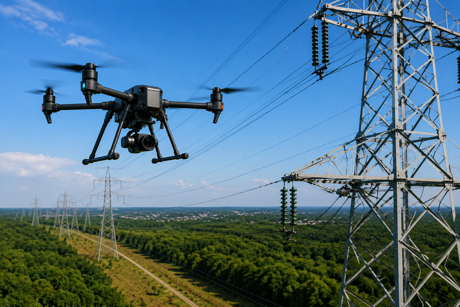
Everything you need to know about aerial utility inspection in 2026, including benefits, drone technology, safety, and industry applications.
Read article →Share your project details and the Skye Link team will recommend the right scope, deliverables, and next steps - usually within 24 hours.
Your operating partner for managed drone data solutions, serving solar, utility, construction, engineering and commercial real estate teams nationwide.Visit skyelink.org
520 Elliot St, Suite 500, Charlotte, NC 28202
(704) 594-5177
contact@skyelink.org



.svg)