This guide explains how drone-led workflows fit into construction projects in 2026. We focus on field‑tested use cases, clear data value, and operational reality. Whether you manage several sites or advise on project planning, you’ll walk away with clear answers, not fluff.
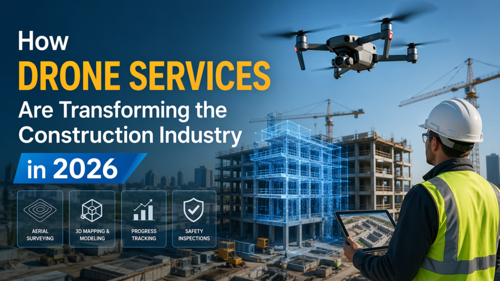
Did you know? According to widely cited construction and infrastructure studies used by federal and academic institutions, aerial data collection reduces site inspection time by more than half and improves reporting accuracy across large projects. That’s no longer experimental, it’s everyday practice now.
In this context, drones for construction services are becoming a useful tool on real-world construction sites rather than a technology showpiece. Teams can see progress clearly, assess risk quickly, and make decisions based on data rather than the hazard of guesswork.
Drone use today focuses less on flying and more on consistent data delivery. Flights follow repeatable patterns so teams can compare results week to week.
Before ground breaks, aerial scans give planners a clear site layout. Terrain and drainage paths become visible early, improving planning accuracy.
LiDAR systems capture elevation and surface data even in uneven or vegetated areas. This supports earthwork planning and quantity checks without repeated manual surveys.
Regular flights show how a site changes over time, not just how it looks on one day.
Along the way, teams also realize the benefits of drones in construction, especially when early planning prevents later rework.
Seeing a site clearly is only useful when the data fits daily work.
Drones check roofs, slopes, and high-risk zones without putting people in danger.
This is where construction site drone monitoring becomes a safety tool, not just a reporting step.
Construction moves fast, but information often doesn’t. Delayed site updates, manual surveys, and limited visibility make it harder to act early. That gap is what aerial data now fills.
When teams see issues the same day, not weeks later, they respond faster. Minor grading errors, material placement issues, or access risks are easier to fix before they grow.
What this really means is fewer surprises when schedules are already tight.
In these phases, teams typically depend on validated aerial surveying drones for verification to ensure consistency of data.
They also utilize drone maps in design and construction in order to ensure that aerial data is aligned with tools for design and reporting.
Flying isn’t the difficult part. Managing quality, safety, and compliance is.
Construction firms that use professional drone services gain dependable results because:
At this level, drone work fits naturally into operations instead of creating new overhead.
Modern drone programs rely on more than aircraft alone.
When paired with experienced operators, these tools help teams see real conditions, not assumptions.
On large, multi-site projects, teams often run weekly flights that create a shared visual record. Project managers review changes on Monday, spot issues by Tuesday, and resolve them before Friday.
In one common scenario, material stockpiles identified through aerial scans help teams reorder at the right time instead of guessing. That reduces idle time and prevents last-minute rush deliveries.
These examples demonstrate the continuous benefits of drones in the construction industry, particularly in situations where consistency is a better option than one-off inspections.
They also show how construction site drone monitoring supports daily planning without slowing crews.
Large projects rarely need occasional flights. They need systems.
Drones for construction service with an organized approach will ensure:
This method is most effective when aerial work can be integrated into the normal reporting cycle.
Teams usually add repeated aerial surveying to grade and measurement checks.
And they still rely on drone maps to construct in order to ensure information about spatial areas is consistent throughout reports.
Construction teams increasingly expect full-site visibility without extra site visits. Aerial data support this when it is consistently collected, analyzed frequently, and linked to actual decision-making.
Utilizing professional drones aids companies in growing without the risk of internal burden.
This change allows for clearer scheduling, safer inspections, and smarter utilization of time and resources.
In 2026, better decisions start with better data. When teams employ drones for construction, they can gain clarity that traditional methods cannot provide.
This clarity results in fewer delays, safer websites, and projects that remain on the right path.
If your project requires greater visibility and better reporting, now is the right moment to make the leap from routine flights. The managed aerial programs can help teams stay on top of their work without affecting the pace of progress.
At Skyelink, we assist construction teams with reliable aerial data as well as nationwide coverage. If your site’s data is working as hard as your team, all of us benefit.
Let’s discuss what improved visibility for your website could be for your next project.
Yes. Flights follow strict safety plans and reduce the need for people to access risky areas.
With repeatable flight paths and proper sensors, accuracy meets or exceeds traditional manual methods.
Most data integrates with common construction reporting and planning tools.
Not always. Many firms choose managed programs for flexibility and compliance.



Discover how aerial thermal imaging helps businesses detect issues, improve inspections, reduce costs, and make smarter decisions in 2026.
Read article →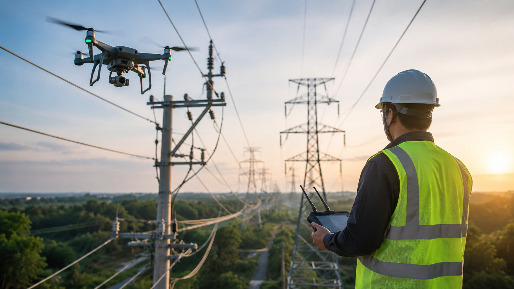
Explore the key benefits of using drones for utility inspections, from improved worker safety and accuracy to lower costs and faster results.
Read article →Share your project details and the Skye Link team will recommend the right scope, deliverables, and next steps - usually within 24 hours.
Your operating partner for managed drone data solutions, serving solar, utility, construction, engineering and commercial real estate teams nationwide.Visit skyelink.org
520 Elliot St, Suite 500, Charlotte, NC 28202
(704) 594-5177
contact@skyelink.org



.svg)