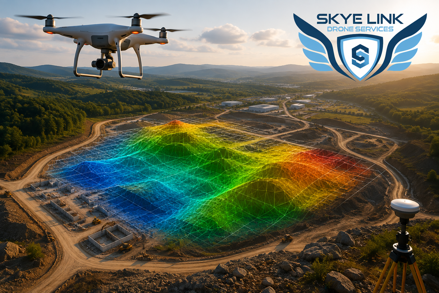
Objective
This blog explains the significance of drone mapping and surveying in 2026, the people who will use it, how precise the results are, as well as what to look for when choosing the services of a contractor. In the end, you'll know if aerial surveying services are appropriate for your needs and how to evaluate the contractor.
Key Takeaways:
Your site survey was supposed to take five days. The ground crew is delayed by weather, the terrain is rough, and your earthwork contractor is waiting on volume data. Here's the thing: traditional surveying methods are accurate, but they are slow, labor-intensive, and expensive at scale. In 2026, drones for mapping and surveying have gone from being a niche activity to common usage. According to the U.S. Geological Survey, drones equipped with real-time kinematic positioning regularly attain vertical accuracy within 3 centimeters, which is comparable to traditional total station techniques used for topographic surveying. Let's take a look at the details.
Table of Contents:
Drone surveying and mapping is the use of unmanned aerial vehicles to capture remote sensing data and convert it into measurable maps, models, and reports. It is not just aerial photography. It is a regulated discipline where FAA Part 107 certified pilots fly programmed missions, process the imagery, and deliver geospatial data you can import into CAD or GIS software. The market is now worth $2.4 billion globally in 2026 and is projected to hit $13.7 billion by 2036. That growth tells you something: this is no longer experimental tech.
You might wonder if a flying camera can really replace a survey crew. Under the right conditions, yes. Modern drone mapping technology combines RTK-GNSS receivers with high-resolution sensors to deliver survey-grade accuracy, often within 1–3 cm horizontally and 2–5 cm vertically when ground control points are used.
AI-powered processing now matches features across overlapping images with minimal human intervention, cutting office time from days to hours. What this really means is that you get engineering-ready data and 3D terrain modeling without waiting a week for a ground crew to walk the entire site.
Not every sector adopts at the same pace. Here's where the demand sits in 2026:
Industry Share of Demand Typical Use Case
Construction & Infrastructure 39.2% Progress monitoring, earthwork tracking, tpographic surveys
Mining & Quarrying High growth Stockpile volumes, pit monitoring, compliance reporting
Utilities & Energy Steady ROW corridor mapping, powerline inspection, thermal imaging
Renewable Energy Growing Solar farm layout, wind turbine inspection Professional Surveying
Service augmentation Aerial data collection, ALTA survey support
Construction dominates because contractors need fast site visibility and BIM-compatible outputs. Mining runs on recurring cycles; monthly volume checks that would take a survey team days now take a pilot a few hours. If you are in one of these sectors, UAV surveying is probably already on your competitor's job site.
You have two main sensor options. Drone photogrammetry uses the overlapping RGB images to construct 3D models. It's affordable, produces crisp orthomosaics, and can be used on dirt or construction sites. LiDAR uses laser pulses to measure distances. It cuts through vegetation, works in lower light, and builds denser point clouds. If your site is covered in trees or brush, LiDAR is the better bet. If it is cleared and you need visual context, photogrammetry wins on price and speed.
When you hire professional drone services, you should receive more than a folder of JPEGs. A proper provider delivers geo-referenced orthomosaics, classified point clouds (.las files), digital terrain models, contour maps, and volumetric reports, all in your project's coordinate system. Turnaround should be measured in hours or days, not weeks. At Skyelink, for example, we deploy FAA-certified pilots nationwide and focus on deliverables that plug straight into your engineering workflow. You should also expect clear communication about weather holds, airspace restrictions, and data security protocols.
Before you sign a contract, ask these three questions:
The data is clear. The construction drone market alone is projected to reach $14.09 billion by 2031. Speed is now the baseline expectation, not a premium feature. If your projects still depend entirely on ground crews for large-area data, you are paying for delays you do not need. In 2026, aerial surveying services give you the same accuracy with less risk, lower cost, and faster turnaround.
If your next program demands speed, safety, and survey-grade accuracy, we should talk. At Skyelink, we deploy certified pilots nationwide and deliver BIM-compatible geospatial data customized to your workflow. Request your free project assessment today and see how professional drone services can keep your crew safe and your timeline intact.
Q: How accurate is drone surveying compared to traditional methods?
A: With RTK-GNSS as well as ground control, drone mapping and surveying attains the accuracy of 1-3 centimeters horizontally and 2-5 centimeters vertically and is comparable to traditional total stations that are used for a majority of Engineering applications.
Q: What deliverables do drone mapping services provide?
A: You usually receive orthomosaics, point cloud (.las), DTMs, DSMs, contour maps, and volumetric reports that are compatible with AutoCAD, Civil 3D, and ArcGIS.
Q Do I require an approved surveyor to conduct the land survey by drone?
A Legal boundary or ALTA surveys, an authorized surveyor has to mark the plat in its final form. The data collection from the air is done with a drone company under their oversight.
Q: How long does a commercial drone survey take?
A: Most sites are flown in hours. Data processing and delivery usually take 24–72 hours depending on size and complexity.
Q: Is drone surveying safe for hazardous sites?
A: Yes. UAV surveying is a method of removing people from danger and making use of zoom or thermal sensors to examine assets from an appropriate distance.


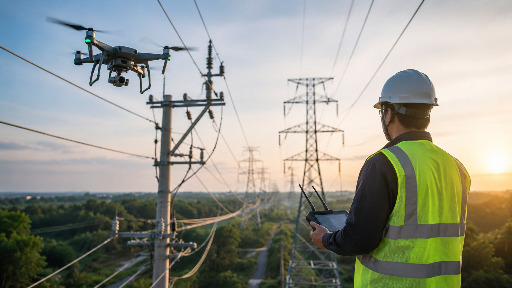
Explore the key benefits of using drones for utility inspections, from improved worker safety and accuracy to lower costs and faster results.
Read article →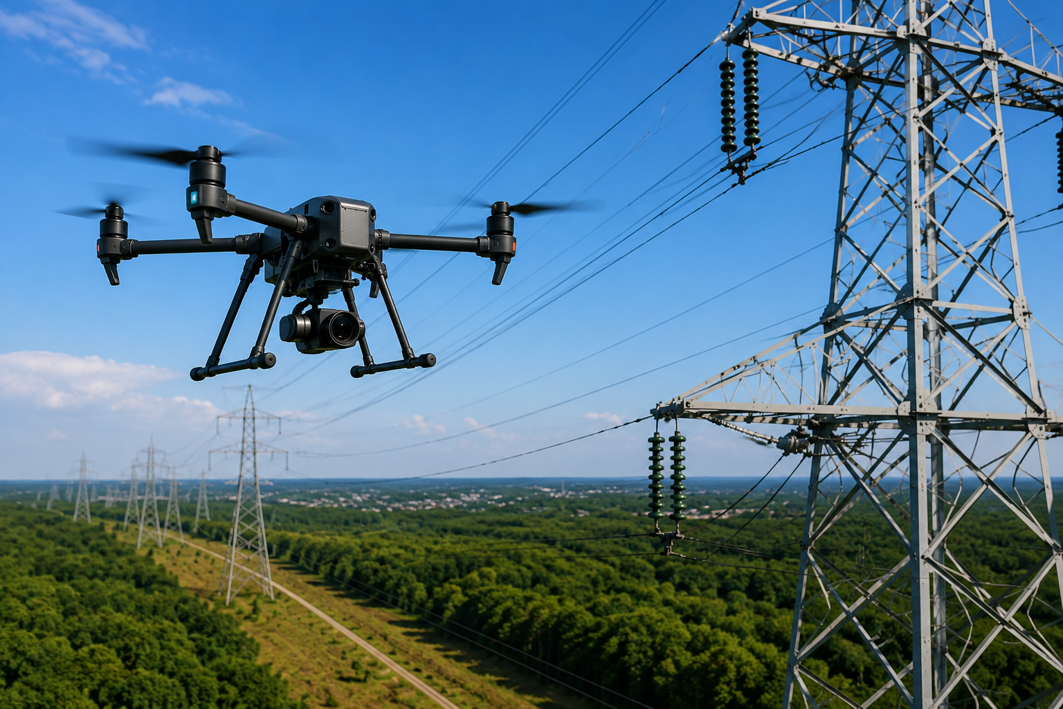
Everything you need to know about aerial utility inspection in 2026, including benefits, drone technology, safety, and industry applications.
Read article →Share your project details and the Skye Link team will recommend the right scope, deliverables, and next steps - usually within 24 hours.
Your operating partner for managed drone data solutions, serving solar, utility, construction, engineering and commercial real estate teams nationwide.Visit skyelink.org
520 Elliot St, Suite 500, Charlotte, NC 28202
(704) 594-5177
contact@skyelink.org



.svg)