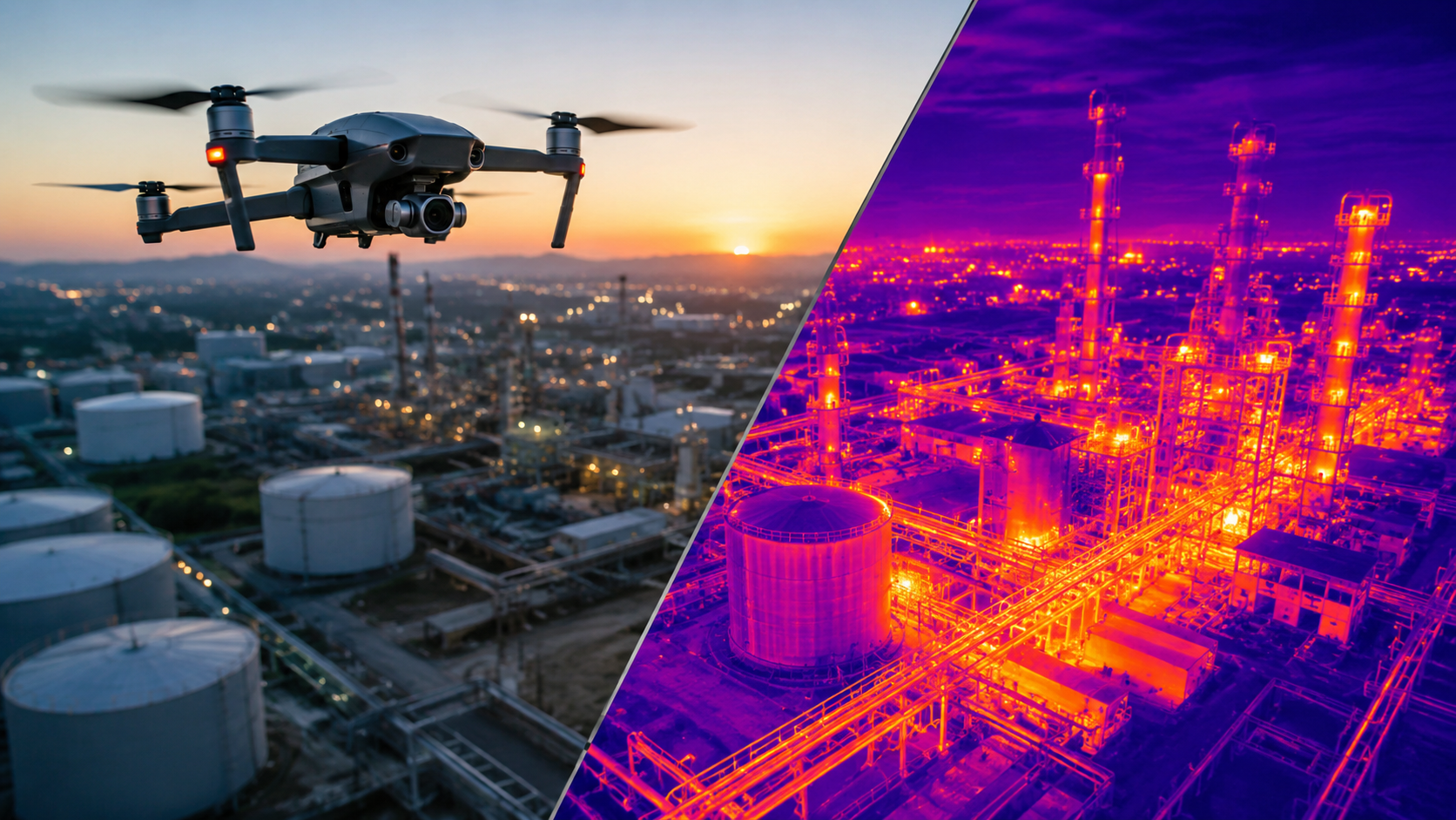
This guide explains aerial thermal imaging. It also touches on why firms care about it in 2026. You will learn how thermal checks from drones can catch problems before they grow. When the issue is spotted early, the later damage is usually less expensive.
Key takeaways:
Heat can give clues before you see any issue. A weak electrical joint, a worn motor bearing, a roof layer that is failing, or missing insulation can first show up as odd heat spots. These signs often appear weeks or months before a breakdown, a fire, or an expensive repair.
That is why many teams use Aerial Thermal Imaging. Infrared cameras mounted on drones can check big areas like equipment yards, building roofs, solar sites, and other infrastructure. The work can be done faster and with less risk than sending someone to walk the whole area with a handheld thermal tool.
Drone systems and sensor detail keep getting better. Data tools that help interpret results are also improving. Because of this, more companies plan to treat aerial thermal imaging as a normal step in maintenance and inspections in 2026. This guide explains what to consider before you start.
Aerial thermal imaging means flying drones with infrared cameras over a site. The cameras record heat changes on a building, a tool, a field, or any other surface. Instead of relying on visible light, the sensor picks up heat that is already coming off the area. The result is a color map that highlights warmer spots and cooler spots.
Since a drone can scan a wide area fast, crews can work in a safer way. Teams can also collect steady thermal data while regular operations keep going.
Old thermal checks usually mean people on roofs, long walks along pipe runs, or cameras held from the ground. That setup makes it hard to check the whole area the same way every time. It also slows things down. Aerial Thermal Imaging helps with these issues.
You may notice unusual heat patterns before a part gives out. That early sign helps the maintenance team plan repairs in time. They do not need to wait for a failure and rush to react.
Drones can cover an area fast. That lets teams check buildings and gear without much interruption to day to day work.
Thermal readings can now be taken without climbing onto roofs or tall towers. Inspectors also do not need to get near live electrical gear to collect the data.
When temperature logs stay steady over time, a business can sort repairs by urgency. It also becomes easier to predict what maintenance will cost next.
A typical aerial thermal inspection follows three main steps.
The inspection team reviews the site, identifies target areas, and checks weather conditions, since wind, temperature, and sun exposure can affect thermal readings.
A drone follows a set path. While it moves, it records heat images. It also takes clear color pictures for checking. Each shot is tied to a GPS point.
Thermal pictures get checked by trained people. In some cases, software with AI support highlights spots that look odd, so the analyst can take a closer look. After that, a written summary is made. It lists what was seen, how serious it seems, and what should happen next.
Technology Primary Purpose Main Benefit
Thermal Cameras : Heat detection : Early fault identification
RGB Cameras : Visual reference : Context for thermal findings
GPS Mapping : Location tagging : Accurate site documentation
AI Software : Anomaly detection : Faster, more consistent analysis
Aerial Thermal Imaging is used across a wide range of sectors, including:
Traditional Inspection : Aerial Thermal Imaging
Requires ladders or lifts : Remote inspection from the air
Limited coverage area : Covers large sites quickly
Higher labor and safety risk : Safer, hands-off data collection
Inconsistent results : Standardized, repeatable data
Slower reporting : Faster turnaround on findings
Traditional inspections still have their place, particularly for close-up verification, but aerial thermal imaging offers a faster and safer first layer of assessment.
Before you book a thermal drone check, keep a few things in mind.
Consider a commercial property manager overseeing a large rooftop. Instead of sending a technician onto the roof every quarter, an aerial thermal inspection identifies a section of insulation retaining moisture — invisible from a standard visual check. Because the issue was caught early, the repair is limited to a small section rather than a full roof replacement, saving significant cost and preventing interior water damage.
Companies are asking for smarter and safer ways to guard their equipment and sites. Aerial Thermal Imaging is now a common part of maintenance and inspection plans in 2026. With this approach, teams can spot issues sooner. That can cut down on unplanned downtime. It also helps keep workers safer during inspections. The drone images provide clear information for planning next steps, so small problems do not turn into costly repairs.
It is the use of drone-mounted infrared cameras to detect heat patterns and identify potential issues in equipment, buildings, or infrastructure.
When flown under proper conditions by trained operators, aerial thermal imaging can detect temperature variations of less than one degree, making it highly reliable for fault detection.
Utilities, solar energy, construction, real estate, and agriculture are among the top adopters.
This depends on the asset type, but many businesses schedule inspections annually, with additional checks after severe weather or major system changes.
Not always. It works best as an early-detection tool that helps prioritize where closer, traditional inspection is needed.


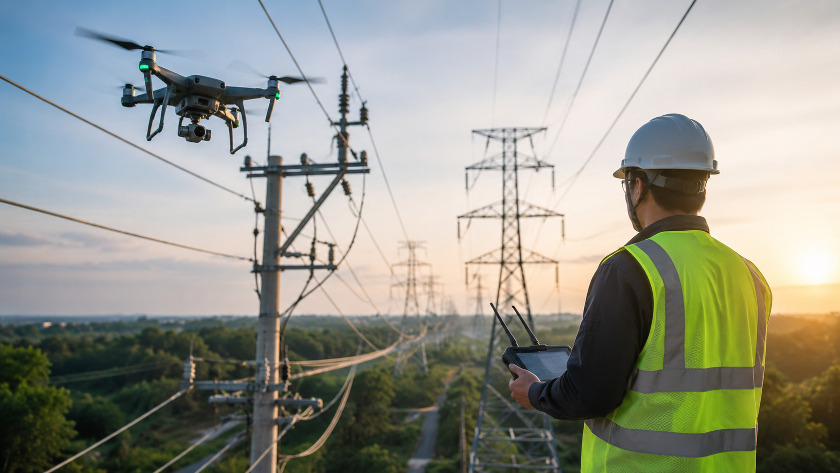
Explore the key benefits of using drones for utility inspections, from improved worker safety and accuracy to lower costs and faster results.
Read article →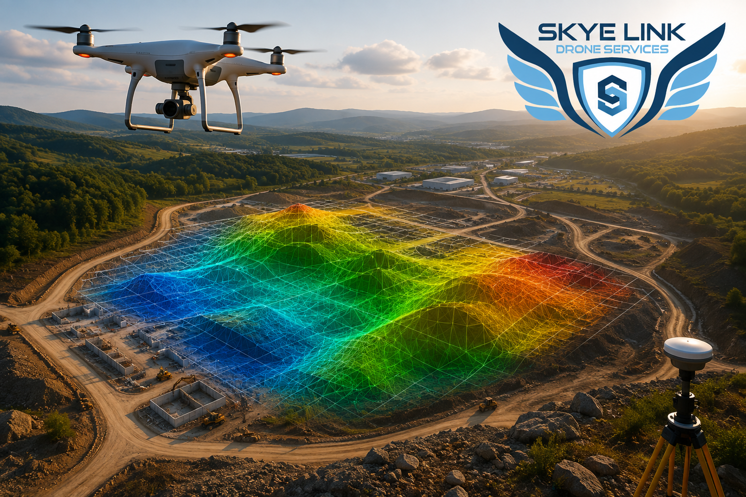
Explore drone surveying and mapping in 2026, including benefits, applications, technology, accuracy, and how drone surveys support modern projects.
Read article →Share your project details and the Skye Link team will recommend the right scope, deliverables, and next steps - usually within 24 hours.
Your operating partner for managed drone data solutions, serving solar, utility, construction, engineering and commercial real estate teams nationwide.Visit skyelink.org
520 Elliot St, Suite 500, Charlotte, NC 28202
(704) 594-5177
contact@skyelink.org



.svg)