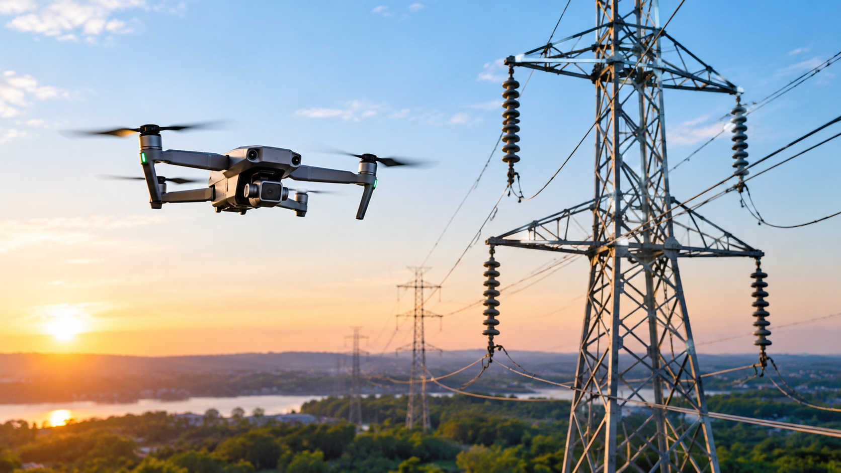
Utility networks stretch across mountains, forests, wetlands, and private land. Keeping them reliable has traditionally meant sending crews up towers, into bucket trucks, and along miles of right-of-way. That approach works, but it is slow, costly, and risky.
Aerial utility inspection changes the equation. By using drones with high-resolution cameras, thermal sensors, and LiDAR, utilities can examine power lines, substations, towers, and pipelines without putting a person on the structure. Here are seven ways this technology makes inspections more efficient.
A ground crew inspects one structure at a time. A drone can follow a pre-planned flight path and capture consistent imagery along miles of transmission line in a single session.
For utilities managing large service territories, this shortens inspection cycles significantly. Work that once stretched across weeks can often be completed in days. That means fewer delays between identifying a problem and fixing it.
Efficiency isn't only about speed. Every climb, bucket truck lift, or confined-space entry carries risk from falls, electrical exposure, and weather. Each incident brings its own downtime, paperwork, and cost.
Aerial utility inspection keeps personnel on the ground while the drone does the close-up work. Fewer high-risk tasks mean fewer safety incidents, and that protects both people and project schedules.
Thermal cameras reveal heat signatures that the eye can't see. A loose connector, an overloaded transformer, or a degrading splice often runs hot long before it visibly fails.
Catching these anomalies early lets utilities schedule targeted repairs during planned maintenance windows rather than responding to unplanned outages. Planned work is almost always cheaper and less disruptive than emergency repair.
Modern inspection drones carry zoom cameras that can capture insulators, hardware, crossarms, and conductors in fine detail. Inspectors can spot cracks, corrosion, missing components, or wear without physically touching the equipment.
Because the drone can view components from multiple angles, it often reveals defects that are hard to see from the ground. Better visibility means fewer missed issues and fewer repeat visits.
Trees and brush growing too close to lines are a leading cause of outages and a wildfire concern. LiDAR-equipped drones measure the distance between conductors and surrounding vegetation or structures with survey-grade accuracy.
This lets vegetation management teams trim where it is actually needed instead of relying on broad, calendar-based schedules. It also supports compliance with clearance requirements and produces documentation that stands up in audits.
After a storm, wildfire, or ice event, speed matters. Roads may be blocked, terrain may be unstable, and lines may still be energized. Sending crews blindly into these conditions is slow and hazardous.
Drones can launch quickly, survey affected corridors, and show restoration teams exactly where damage occurred. Crews arrive at the right location with the right equipment, which shortens outage duration and gets customers back online sooner.
Perhaps the most underrated benefit of aerial utility inspection is the data it leaves behind. Instead of handwritten notes and scattered photos, drone programs deliver organized digital reports with geo-tagged images, flagged defects, and measurements.
Because each inspection is captured the same way, teams can compare results over time and track how an asset is aging. Engineers, field crews, and asset managers all work from the same information, which makes repair prioritization more objective and budgets easier to defend.
Adopting drones doesn't require replacing your entire inspection process overnight. Many utilities begin with a pilot on one problem corridor or substation, compare the results against traditional methods, and expand from there.
When choosing a provider, look for FAA Part 107 certified pilots, appropriate insurance, experience with energized infrastructure, and clear, quality-reviewed deliverables. The best partners handle scoping, flight, data processing, and reporting so your team can focus on acting on the findings.
Aerial utility inspection makes the entire maintenance cycle more efficient. It covers more ground in less time, keeps crews safer, finds faults earlier, and produces data that supports smarter decisions. For utilities under pressure to improve reliability while controlling costs, drones are no longer an experiment. They are a practical, proven tool.
At Skyelink, we manage the entire process for utility teams, from scoping and FAA Part 107 certified pilots to data capture and quality-reviewed deliverables. Ready to see what aerial utility inspection can do for your network? Request a quote from Skyelink and let our team recommend the right scope for your project.
Aerial utility inspection uses drones equipped with cameras and sensors to examine power lines, towers, substations, and pipelines without requiring workers to physically access the structure.
It removes the need for climbing, bucket trucks, and close contact with energized equipment. Crews stay on the ground while the drone captures detailed data.
Yes. Thermal imaging reveals overheating components and loose connections, and LiDAR measures vegetation clearance. Neither is visible during a standard visual check.
It depends on the asset, risk level, and regulations. Many utilities schedule routine flights quarterly or annually, with extra flights after severe weather or suspected damage.
In most cases, yes. Faster coverage, fewer safety incidents, earlier fault detection, and reduced emergency repairs typically outweigh the cost of the program, especially across large or remote networks.


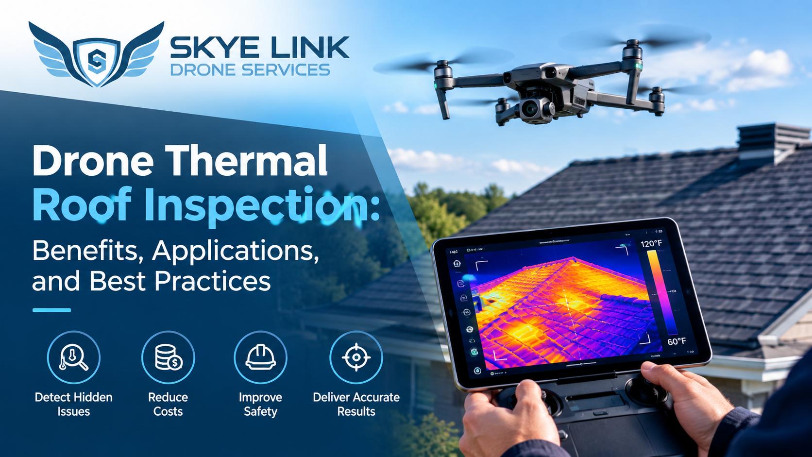
Discover how drone thermal roof inspections detect hidden issues, reduce costs, improve safety, and deliver accurate results with best practices.
Read article →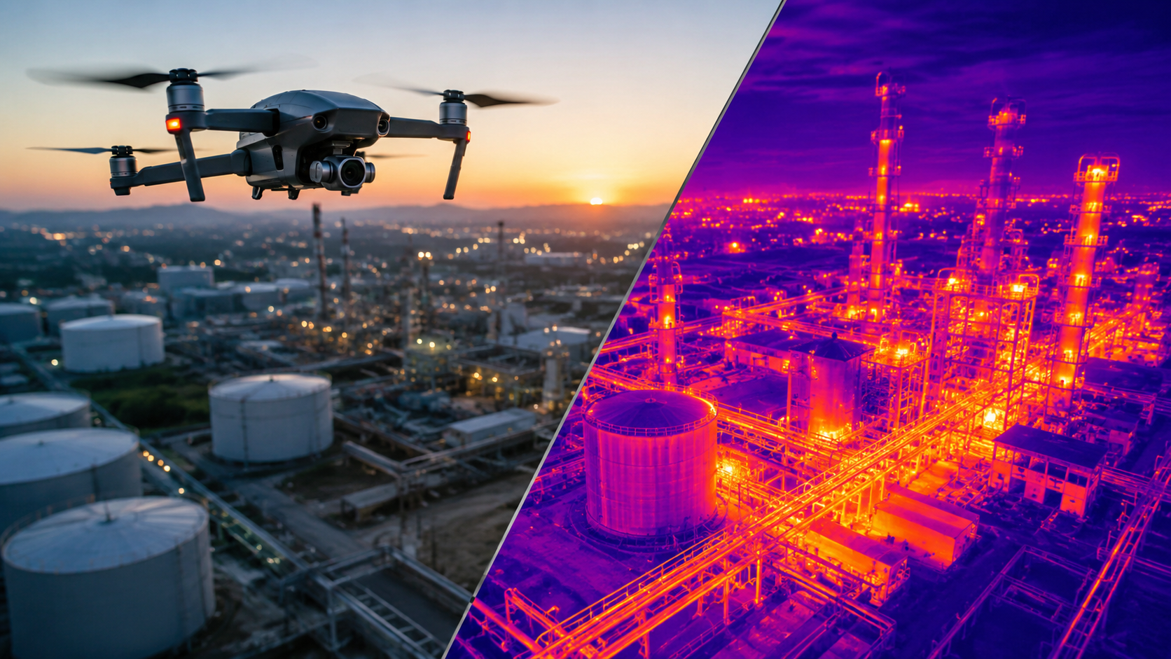
Discover how aerial thermal imaging helps businesses detect issues, improve inspections, reduce costs, and make smarter decisions in 2026.
Read article →Share your project details and the Skye Link team will recommend the right scope, deliverables, and next steps - usually within 24 hours.
Your operating partner for managed drone data solutions, serving solar, utility, construction, engineering and commercial real estate teams nationwide.Visit skyelink.org
520 Elliot St, Suite 500, Charlotte, NC 28202
(704) 594-5177
contact@skyelink.org



.svg)