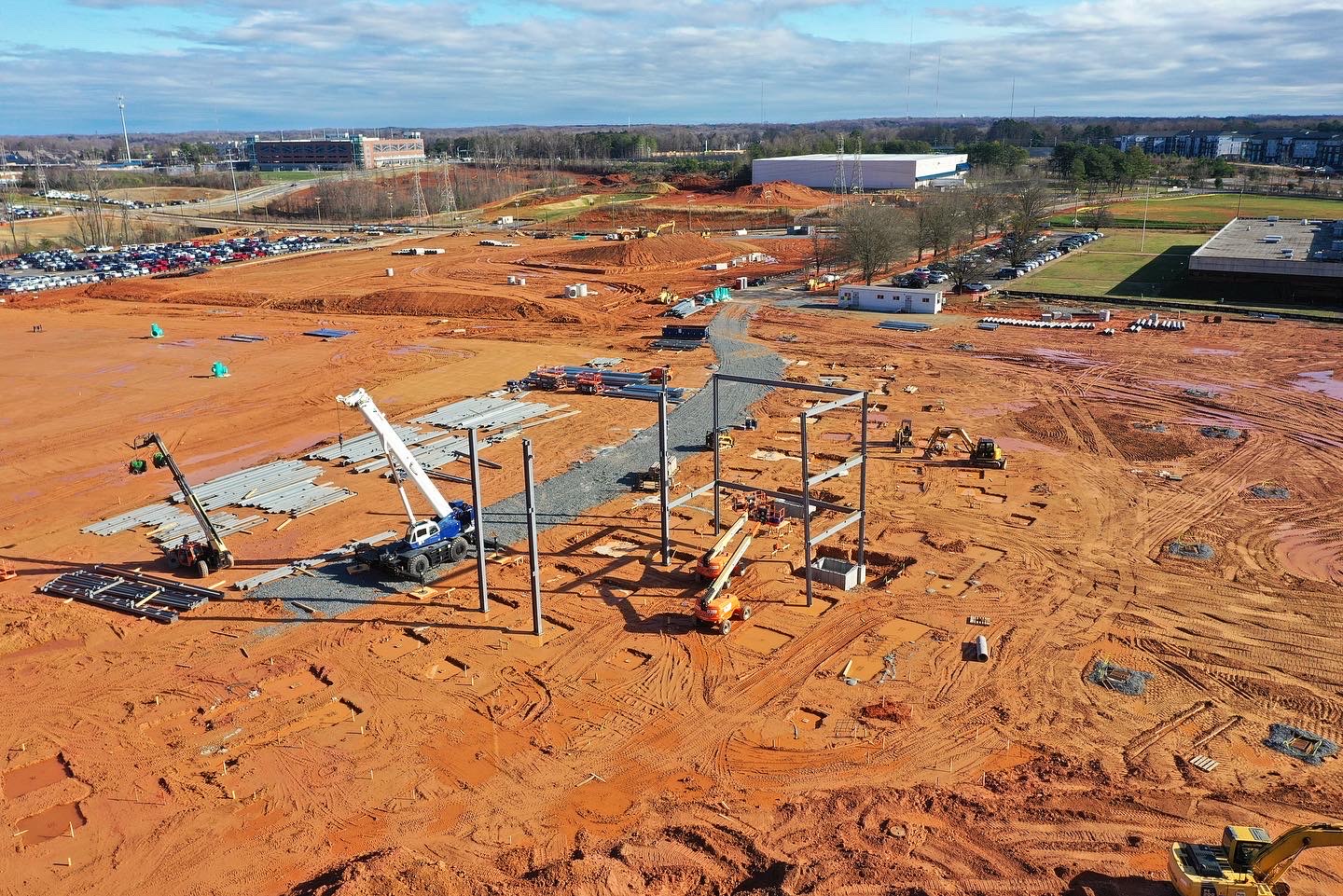
Orthomosaic mapping, terrain modeling, and photogrammetric outputs for engineering, development, and land-use teams.
Photogrammetric mapping deliverables for design, planning, and documentation
Skye Link delivers orthomosaics, digital surface models, contours, and CAD-ready mapping outputs that integrate directly into engineering, planning, and land-use workflows — so your team can move from data capture to project decisions faster.
We coordinate capture, processing, and QA centrally, giving you consistent deliverables whether you need a single-site orthomosaic or a multi-site mapping program.
Mapping data that plugs directly into your existing workflow
All mapping deliverables are exported in standard GIS and CAD-compatible formats (TIFF, SHP, DXF, KML), so engineering, planning, and GIS teams can bring the data straight into the tools they already use without a conversion step.
Because capture is drone-based, we can remap a site quickly if plans change mid-project; far less costly to do than with a traditional survey crew.
Can Skye Link support survey-certified deliverables?
-
Yes. While Skye Link is not itself a licensed surveying firm, we maintain a nationwide network of licensed professional surveyors across all 50 states. When your project requires stamped or certified survey deliverables, we coordinate that seamlessly so you receive everything through one partner.
What's the difference between aerial mapping and LiDAR?
+
Aerial mapping (photogrammetry) is ideal for surface detail and orthomosaic imagery, while LiDAR is better suited for accurate elevation data and dense vegetation penetration.
Can you deliver CAD-ready outputs?
+
Yes, we provide CAD-ready DWG/DXF exports compatible with Civil 3D and other common design software.
Do you provide ground control?
+
Yes, we can establish ground control points (GCPs) on-site or work with your existing survey control network to maximize accuracy.
Need accurate aerial maps and survey support?
Tell us about your site and deliverable requirements. We'll scope the right approach and coordinate with licensed surveyors when needed.