

Insights on drone technology, managed services, and aerial data best practices for commercial and enterprise teams.


Drone Site Surveys For Commercial Rooftop PV CAD Modeling Using aerial data is an effective, accurate, and safe way to design PV systems.
read article →
Using Drones For Solar Construction Progress Monitoring allows solar developers to track progress over time of PV installation projects
read article →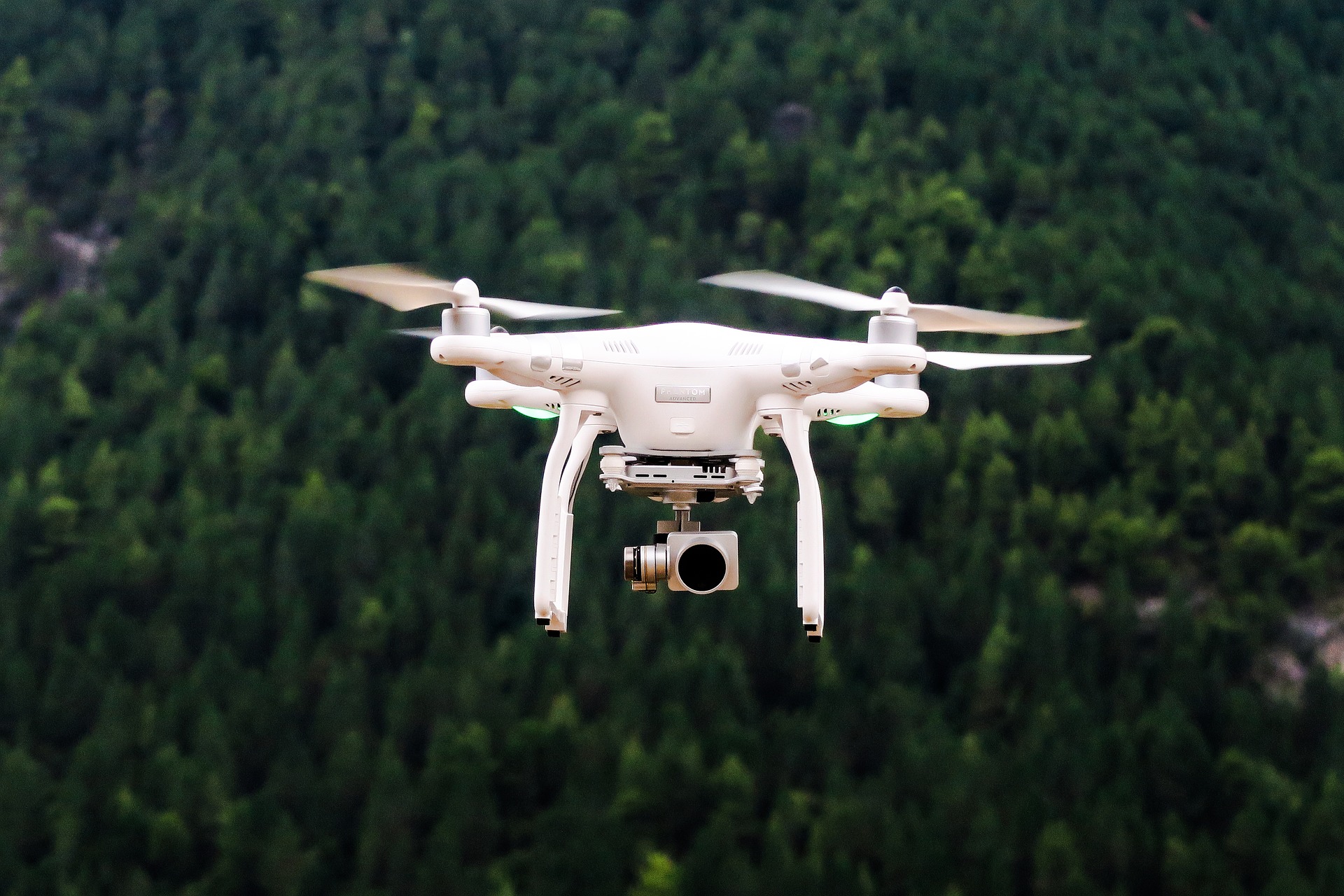
Which is Better for Aerial Mapping, the DJI Phantom 4 Pro or the DJI Mavic 3 Enterprise. The P4P and M3E both are great drones for mapping
read article →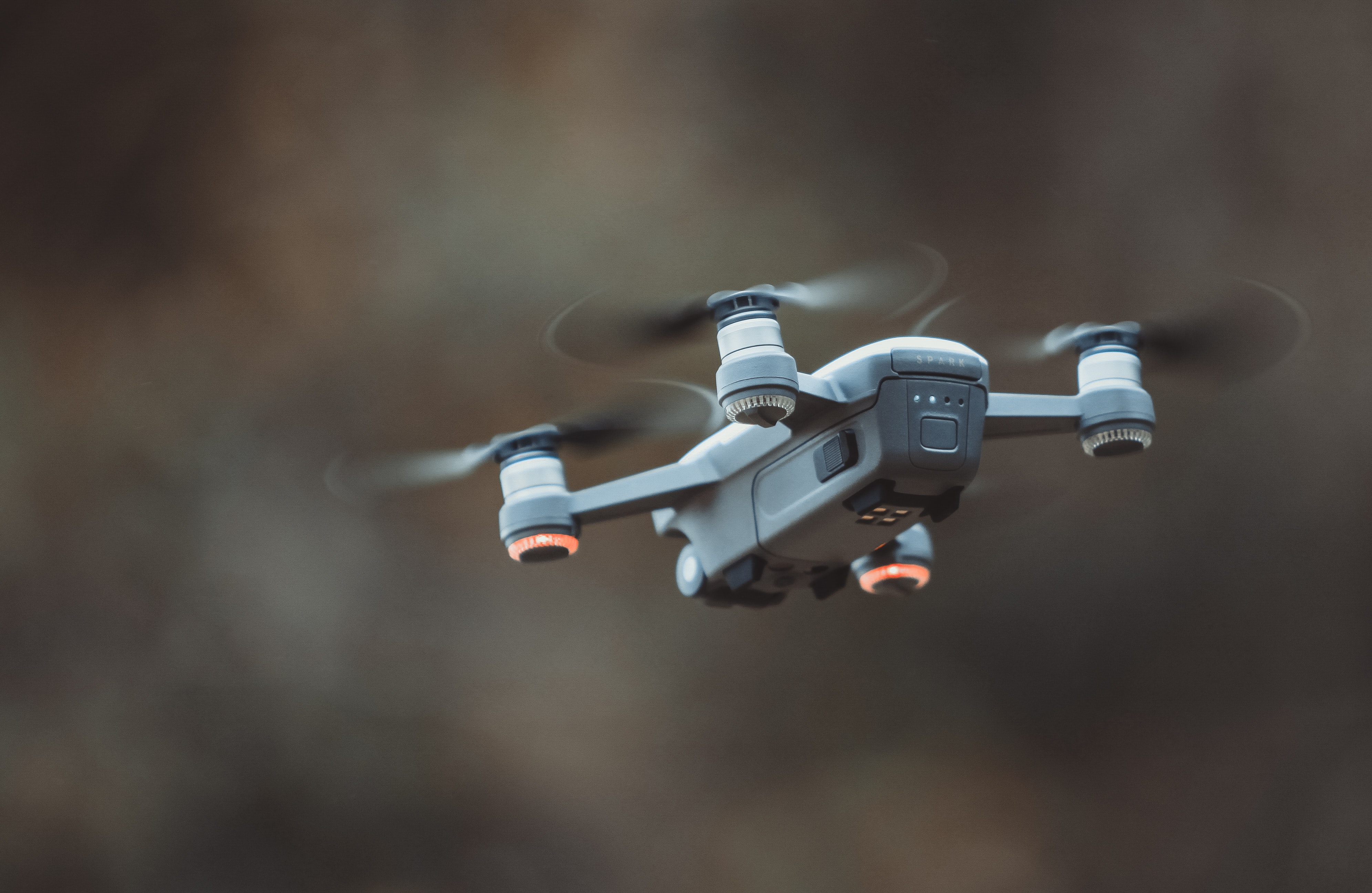
This interview with Leo Adams on Skye Link's Unique Drone Service Network Approach, AI, Data Solutions, & More
read article →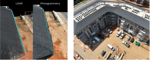
Evaluating the Accuracy, Detail, and ROI of Aerial Drone LiDAR Technology Over Photogrammetry in Construction for this case study
read article →Share your project details and the Skye Link team will recommend the right scope, deliverables, and next steps - usually within 24 hours.
Your operating partner for managed drone data solutions, serving solar, utility, construction, engineering and commercial real estate teams nationwide.Visit skyelink.org
520 Elliot St, Suite 500, Charlotte, NC 28202
(704) 594-5177
contact@skyelink.org



.svg)