National Drone Mapping & Aerial Surveying Drone Service Company
In the past decade, the rise of drone technology has revolutionized industries across the globe. With their agile maneuverability and advanced imaging capabilities, drones have unlocked a whole new realm of possibilities when it comes to capturing detailed and accurate data from above for national drone mapping and aerial surveying services. From urban planning to environmental monitoring, from construction site surveys to disaster management, the applications of drone-based aerial mapping are vast and diverse.
Why Skye Link? We are an aerial mapping & surveying drone services company with drone mapping services including those listed below. Our professional drone service platform facilitates nationwide aerial mapping data collection. Our turnkey data collection & analysis service includes drone mapping, elevation modeling, volumetric measurement, stockpile management, aerial thermal mapping, drone LiDAR imaging, construction site progress monitoring, right of way corridor mapping, topography surveys, and other specialized drone imaging solutions.
Skye Link partners with professional licensed surveyors across every US state to produce surveying services, ground control placement, ALTA surveys, and other aerial surveying services to customers who need stamped certified surveys conducted nationally. We streamline the aerial data collection and data analysis process so our clients can sit back and focus on what they do best.
Key Advantages of Aerial Drone Mapping
-
- High Precision: Offers extremely accurate and detailed data capture.
- Efficiency: Enables rapid data collection and processing compared to traditional methods.
- Cost-Effectiveness: Reduces operational costs and time spent on surveys and inspections.
- Safety: Minimizes risks associated with manual inspections in hazardous or hard-to-reach areas.

Top Drone Mapping &
Aerial Survey Services
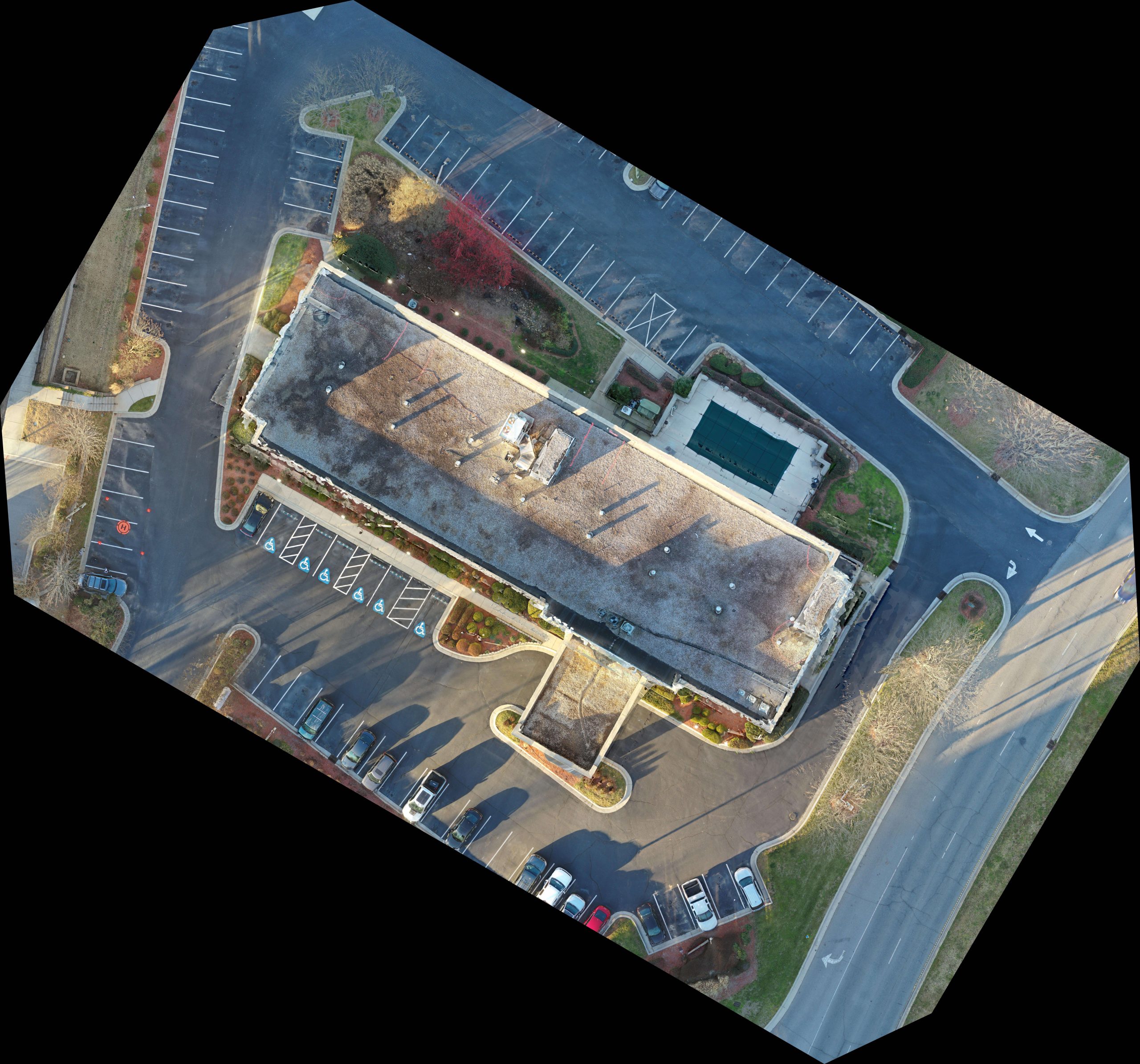
- Construction Progress Monitoring: Conduct routine site surveys to gather data on construction progress and key data points detailing information such as aerial visualization (photos, panos, videos) terrain, elevation, earthwork, volumetric information, hardware installation tracking, general site progress, etc. Reports can be customized to capture relevant data points depending on type of construction.
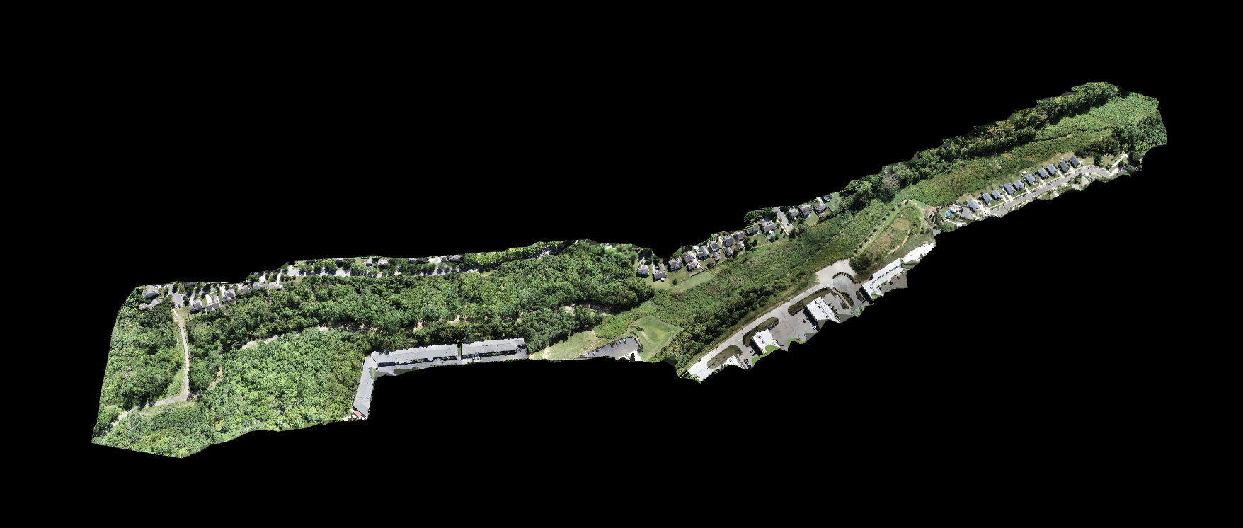
- Topography, Terrain & Elevation Surveys: Collect detailed topography information to produce contour models, point cloud, orthomosiac, digital terrain or elevation models. Depending on deliverable type can be delivered as .dwg, .dxf, .las file type.
- Right of Way (ROW) Corridor Mapping: Great for inspecting and mapping linear corridors especially powerlines and pipelines. Assess encroaching vegetation and identify problematic hazards to create data driven remediation plan to combat potential hazards along ROW.
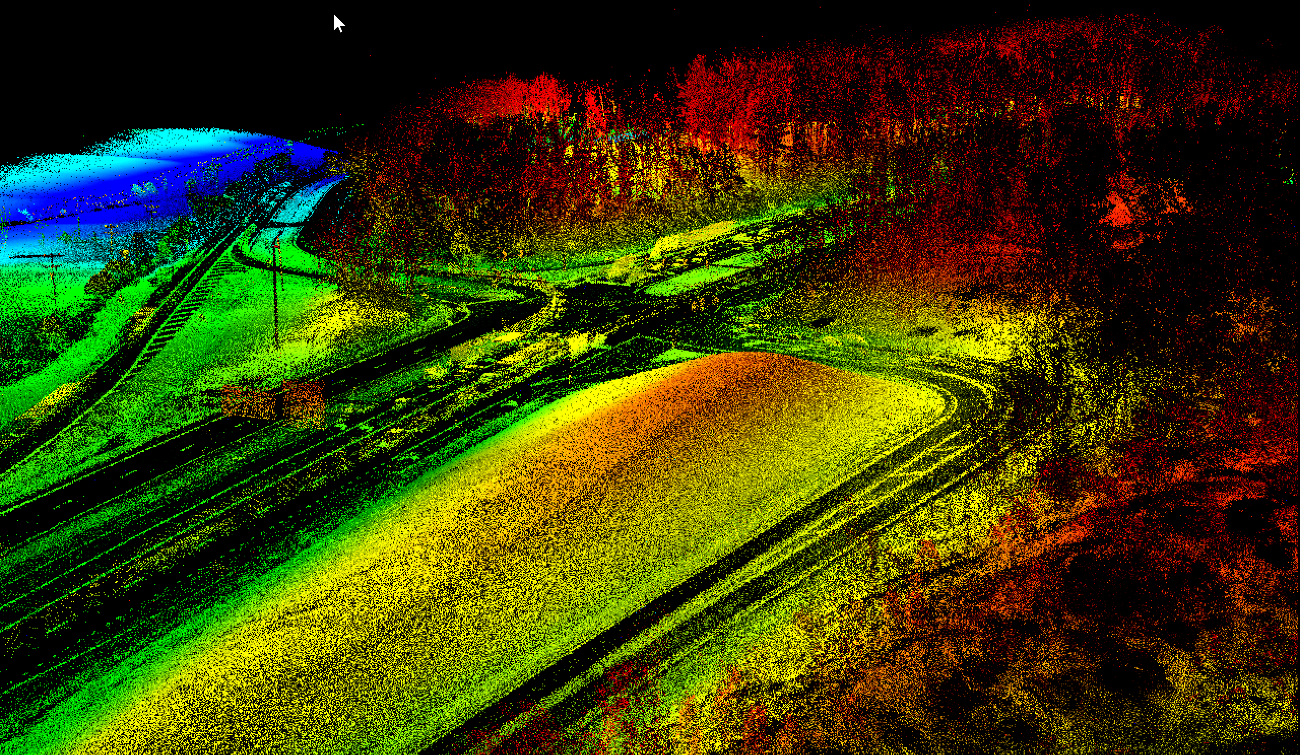
- Aerial LiDAR Imaging: Next level up from our photogrammetry services to collect survey-grade topography and elevation data. Excellent use for siting or new site development purposes, especially when collecting topography data through dense vegetation and significant tree coverage. Survey-Grade (cm-level) accuracy with 250m+ laser range. Penetrates vegetation to produce accurate topography & planimetric features.
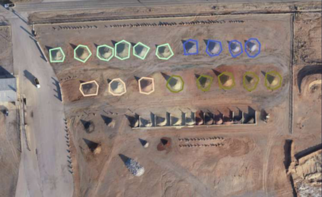
- Earthwork Management & Stockpile Volumetric Measurement: Collect & track cut/fill volumetric data over time to better manage inventory levels and optimize resource utilization.

Request Quote For Drone LiDAR Mapping & Aerial Surveys
Why Skye Link? We are a national drone service company providing aerial data solutions for surveyors, mapping & surveying companies. Our turnkey managed drone services streamlines aerial drone mapping including high-precision aerial surveying, aerial LiDAR corridor mapping for vegetation management, As-built & ALTA Surveys, land development planning, cadastral surveys, topographic & elevation modeling, and much more!
Interested in Learning More? Let’s Connect!
Talk to our professional team to get your questions answered and begin utilizing the power of drones and aerial data to effectively enhance your mapping capabilities!
