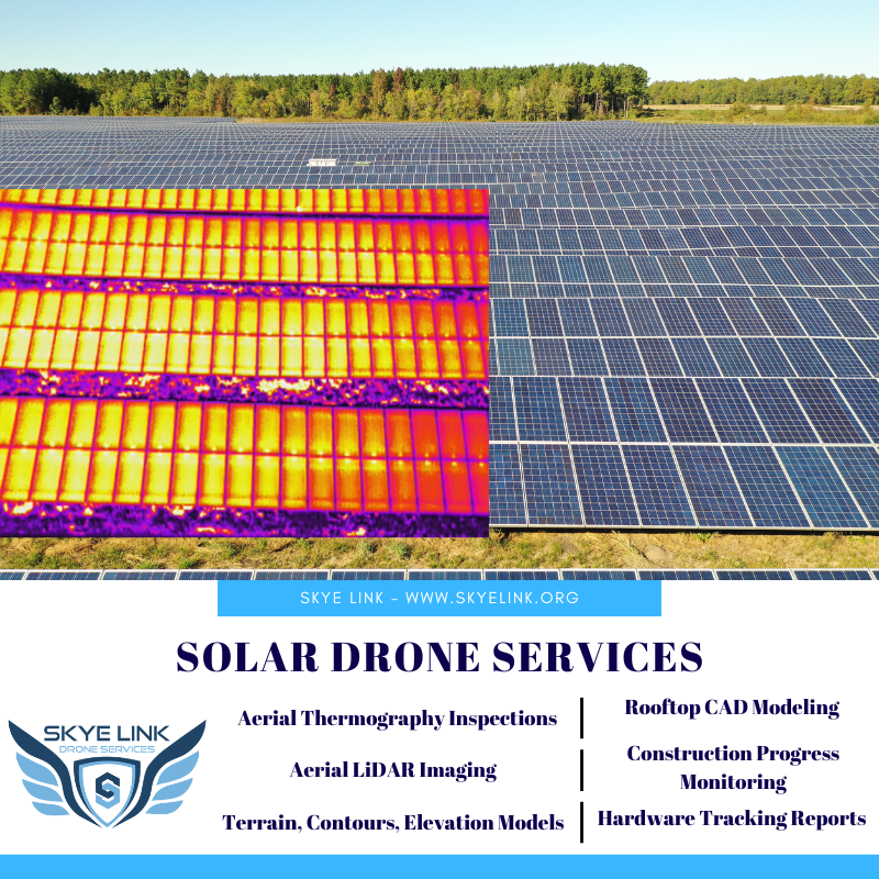
National Solar Drone Services Company
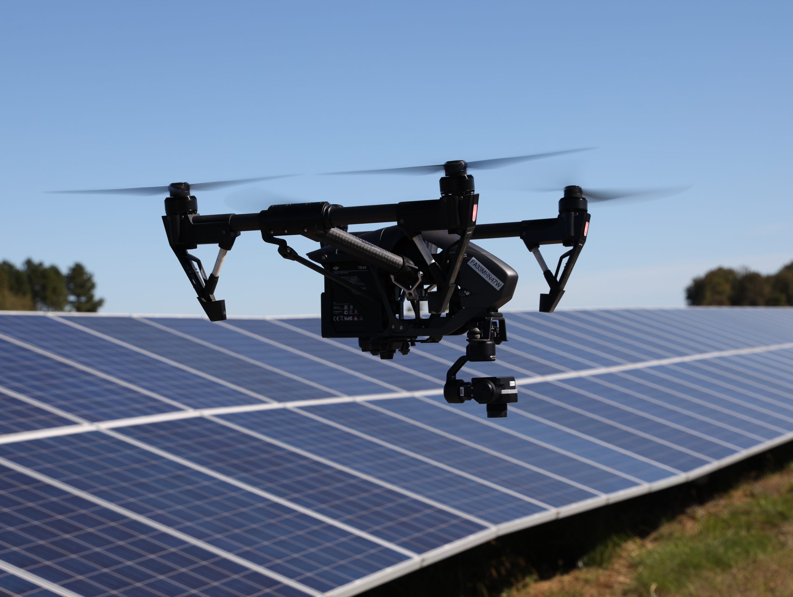
Drone technology has become an invaluable tool in the renewable solar energy space. They are streamlining various operational processes that not only lead to new efficiencies for solar companies but have improved workers safety and improved company’s bottom line in the process. With that said, below we share Skye Link’s solar drone services throughout every phase of the solar lifecycle from pre-construction site surveys, construction progress monitoring & hardware tracking, and aerial thermography for commissioning as O&M inspections.
Pre-Construction Solar Drone Services:
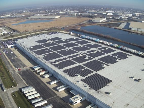
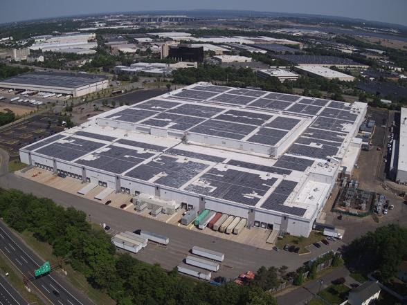
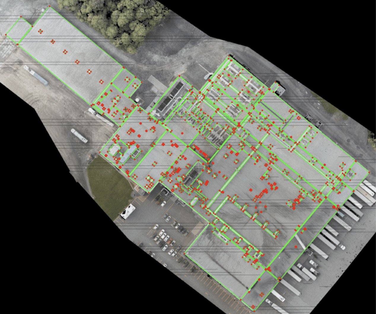
- : Using drones to conduct aerial surveys of commercial rooftop PV sites allows solar design teams to accurately plan for installation while also enhancing worker safety. View obstacles on a precise AutoCAD Solar design base inspection map, leverage accurate roof & edge measurements, and remotely confirm project progress. Skye Link’s commercial rooftop PV CAD modeling drone service can help. you streamline this entire process.
- Deliverables include AutoCAD (.dxf), Detailed roof measurements & edge annotations with solar obstructions PDF report, Orthomosiac (.tif), Digital Surface Model (.tif), and Point Cloud (.las)
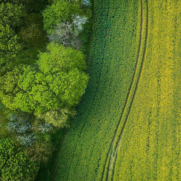
- Topography Surveys: Collect detailed topography information to produce contour models, point cloud, orthomosiac, digital terrain or elevation models. Depending on deliverable type can be delivered as .dwg, .dxf, .las file type.
- LiDAR Imaging: Next level up from our photogrammetry services to collect survey-grade topography and elevation data. Excellent use for siting or new site development purposes, especially when collecting topography data through dense vegetation and significant tree coverage.
During Construction Solar Drone Services:
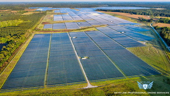
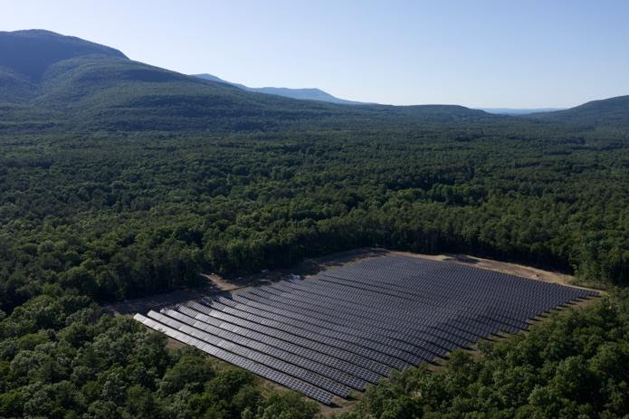
- Solar Construction Progress Monitoring & Hardware Tracking: Regular drone inspections equip solar development & constructions teams with all the tools to survey sites efficiently and confirm progress while preventing unexpected costs or project delays later on. Easily visualize and monitor the site remotely to keep all project stakeholders informed, confirm contractor progress, and keep construction moving on schedule.
Deliverables:
- Orthomosiac (.tif)
- Detailed PDF report with solar tracking metrics including modules, piles/leg sets, long beams, tables, combiner boxes, etc
- Excel (.csv) files with above metrics for individual flight dates, or comparison metrics between multiple dates for comparative analysis
- Oblique overview visual images of the site from all cardinal directions (N, NW, W, SW, S, SE, E, NE)
Regular pdf reports with overview images of site progress and key data points detailing information such as earthwork, volumetric information, hardware installation tracking, general site progress, etc. Reports can be customized to capture relevant data points depending on type of construction.
Commissioning and O&M Solar Drone Services:
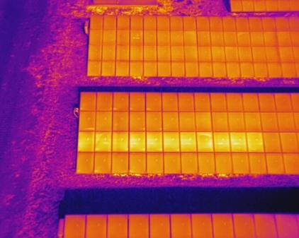
- Solar Panel Thermal Drone Inspections: Thermal infrared imaging can be leveraged to enhance asset inspections to collect temperature data such as for solar PV systems to spot anomalies and operational issues. Thermal inspections can be conducted upon commissioning to create baseline performance metrics or annually for O&M purposes.
- Deliverables include PDF report containing all analytics (summary statistics, anomaly classifications, locations, associated images), .KML/.CSV/.SHP files containing relevant inspection information with geo-referenced data points, 2D Maps/3D Models, and more.
Why Skye Link? We are a National UAV Inspection Company specializing in aerial inspection and mapping services for renewable energy & utility companies. Our service platform facilitates nationwide turnkey drone data solutions includes visual and aerial infrared inspections, aerial thermal mapping, drone LiDAR imaging, construction site progress monitoring, topography surveys, aerial damage assessment, solar PV shading studies, and other drone imaging solutions. We streamline the aerial data collection and data analysis process so our clients can sit back and focus on what they do best.
