National UAV Aerial Inspection Company
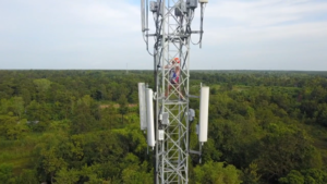
The energy & utility industries (electric, gas, solar, water and wind utilities) are in the middle of rapid technological advancements with IoT & AI, and now with UAVs as well. Drone inspections are helping cut business risk by improving worker safety and facilitating inspections that would traditionally be quite dangerous. For example, traditional inspection methods of asking a maintenance tech to climb wind turbines or cell towers to assess damage can now easily be done safely by deploying a drone to complete comprehensive aerial inspections. The deployment of aerial drone infrared inspection technology can also help streamline this process and even find anomalies that are not discoverable with normal aerial imagery for powerline inspections, solar PV inspections, wind turbine inspections, and various other use cases.
Outside of keeping employees safe, UAVs are helping cut operation and maintenance costs. Surveying miles of pipeline or assessing large solar farms can take days or weeks by ground, but now aerial data allows businesses to efficiently locate issues and maintain documentation of their assets’ condition. Outside of just saving time in identifying issues, utilizing this data allows companies to provide actionable intelligence to their field team to also increase the efficiency of resolving these issues. UAVs are even helping revolutionize site selection by producing high-quality topographical maps and contour models that can help construction managers with pre-construction operations and site planning.
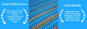
Why Skye Link? We are a National UAV Inspection Company with aerial inspection services for solar, wind, powerlines, pipelines. Our service platform facilitates nationwide solar PV drone inspections, aerial wind turbine inspections, aerial utility inspections for T&D, cell tower inspections. Our turnkey data collection & analysis service includes visual and aerial infrared inspections, aerial thermal mapping, drone LiDAR imaging, construction site progress monitoring, topography surveys, aerial damage assessment, solar PV shading studies, and other drone imaging solutions. We streamline the aerial data collection and data analysis process so our clients can sit back and focus on what they do best.
Top Services
- Asset Inspections: Deliverable options include PDF report containing all analytics (summary statistics, anomaly classifications, locations, associated images), .KML/.CSV files containing relevant inspection information with georeferenced data points, 2D Maps/3D Models, and more.
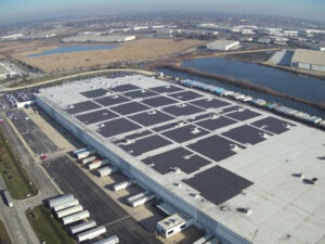
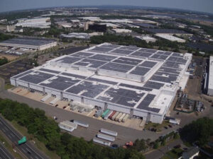
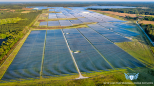
- Solar PV Aerial Inspections
- Wind Turbine & Blade Inspections
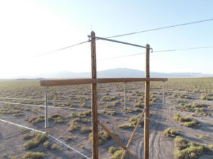
- Aerial Powerline Inspections (Transmission, Distribution, Substations)
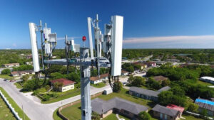
- Cell Tower Inspections & Audits
- Oil & Gas Pipeline Inspections
- Construction Progress Monitoring: Weekly pdf reports with overview images of site progress and key data points detailing information such as earthwork, volumetric information, hardware installation tracking, general site progress, etc. Reports can be customized to capture relevant data points depending on type of construction.
- Topography Surveys: Collect detailed topography information to produce contour models, point cloud, orthomosiac, digital terrain or elevation models. Depending on deliverable type can be delivered as .dwg, .dxf, .las file type.
- Right of Way (ROW) Corridor Mapping: Great for inspecting and mapping linear corridors especially powerlines and pipelines. Assess encroaching vegetation and identify problematic hazards to create data driven remediation plan to combat potential hazards along ROW.
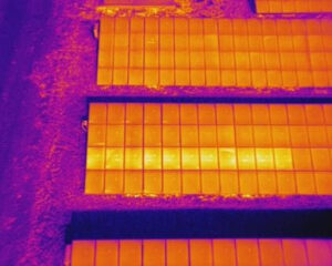
- Aerial Thermography: Thermal infrared imaging can be leveraged to enhance asset inspections to collect temperature data such as for solar PV systems, powerlines, or wind turbines to spot anomalies and operational issues.
- LiDAR Imaging: Next level up from our photogrammetry services to collect survey-grade topography and elevation data. Excellent use for siting or new site development purposes, especially when collecting topography data through dense vegetation and significant tree coverage.
