Mississippi Drone Services
How Our Drone Services Work:
Convenient, On-Demand, Safe, Affordable, & Customizable.
Skye Link offers professionally managed drone services including comprehensive aerial inspections, drone photography, sUAS training/consulting, and aerial mapping supporting a wide range of industries including renewable energy, utilities, construction, engineering, facilities, and commercial real estate. Our FAA Part 107 certified safety oriented remote pilots allows us to offer high quality aerial data collection and analysis services to customers across Mississippi and nationwide while deploying local resources giving our customers cost effective services while supporting their flexibility to scale or fill in resource gaps with their current sUAS program.
We have also developed our digital drone service platform to streamline the process for clients to order aerial services and swiftly receive on-demand aerial imagery & data by quickly deploying our certified, insured, commercially trained remote pilots. We look forward to working with you and delivering high-resolution photographs, videos, and data in a safe efficient and compliant manner.
Contact us to handle aerial data collection & analysis operations while you sit back and do what you do best. We fly, you get insights.


Aerial Mapping & Data Collection:
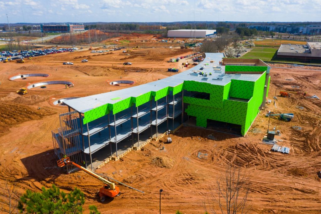
Leverage drones for aerial mapping and data collection including services such as topography, terrain/contour/elevation modeling, aerial stockpile/volumetric measurements, construction progress monitoring, and aerial structural imagery. Aerial thermography and LiDAR imaging available. Skye Link offers nationwide aerial data collection services or the full turnkey drone service including data processing, analysis and reporting.
Learn More About Skye Link Aerial Mapping & Data Collection Services
Drone Photography & Aerial Media:
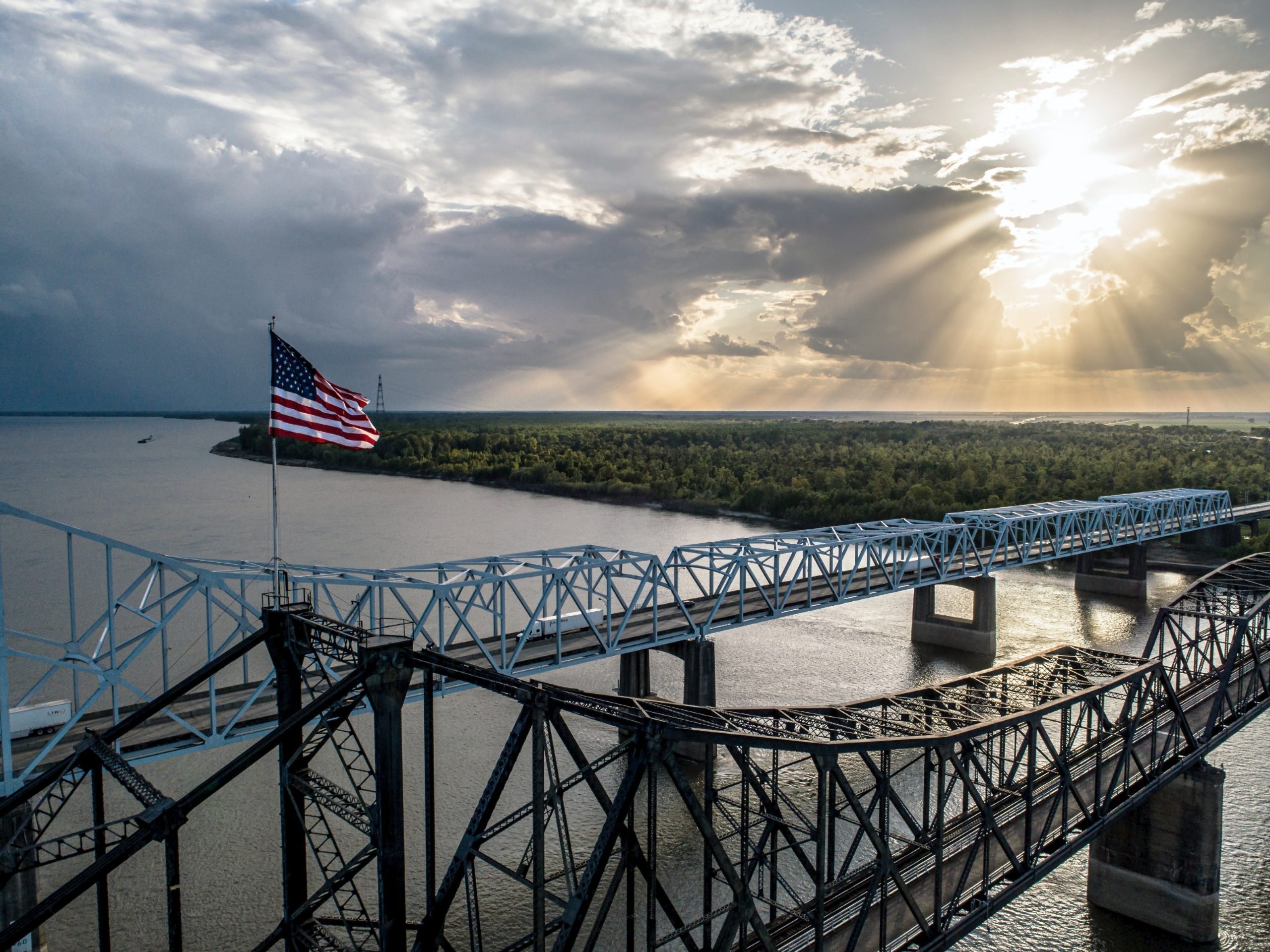
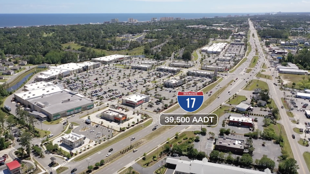
Skye Link will capture all the amazing aerial media including images, drone video, aerial panoramas, to use for your marketing when promoting your properties, business, event, or production. Skye Link offers nationwide aerial photography and drone video services to help you easily and cost effectively order drone services.
Learn More About Skye Link Drone Services North Carolina like Drone Photography & Aerial Media


Aerial Inspections:
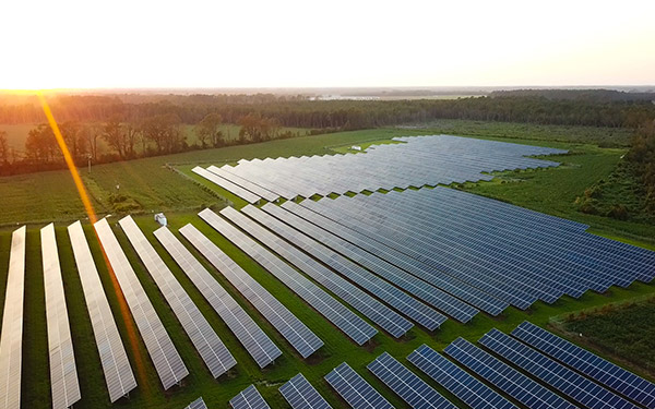
Work with us to utilize drones for aerial inspections including solar farms, cell towers, power lines, wind turbines, roofs, properties, buildings, structures and other infrastructure. Aerial infrared inspections and LiDAR imaging available. Skye Link offers nationwide aerial data collection services or the full turnkey drone service including data processing, analysis and reporting.
The Process
1)Tell Us About Your Project
Share the details about your project and receive a free consultation to maximize your ROI according to your goals
2) We’ll Schedule The Service
Sit back and let Skye Link handle the operations to schedule the flight with our professional safety-oriented pilots while ensuring compliance with FAA regulations and airspace restrictions as applicable.
3) Receive Your Deliverables
Once the project is done we will securely share your aerial imagery & data in your preferred delivery method and format. We guarantee 100% customer satisfaction.
Once the project is done we will securely share your aerial imagery & data in your preferred delivery method and format.
We guarantee 100% customer satisfaction. Skye Link Professional Drone Services

Cities & Areas Served:
Serving the entire state of Mississippi by capturing stunning aerial imagery and drone data. Our aerial inspection, drone mapping, and aerial photography services are available in Jackson, Gulfport, Southhaven, and other cities across MS!