Skye Link 31 July, 2026
How Skyelink Delivers Accurate Construction Progress Monitoring Services
Objective
This guide explains how Construction Progress Monitoring Services help you monitor every stage of a project with greater accuracy. You’ll discover the benefits and opportunities embedded in drone technology, aerial mapping, and periodic site documentation. With the use of technology from Skyelink’s construction drone solutions and aerial data services, obstructions and delays will be reduced, thereby supporting informed decisions and enhancing project completion.
Key Takeaways
- Construction Progress Monitoring Services provide accurate visual updates throughout your project.
- Drone construction progress monitoring improves visibility across large construction sites.
- Orthomosaic mapping and LiDAR construction survey provide highly accurate site data.
- Regular aerial reports improve communication between contractors, owners, and stakeholders.
- Better project tracking helps reduce delays, rework, and safety risks.
Introduction
The effective execution of a construction project entails the management of personnel, equipment, schedules, and the daily tracking of work progress. Walking the site may not be enough if project coverage is extensive.
Did You Know? Advanced drone technology can cut traditional construction site survey data collection time from weeks to a few days. During that time, project teams can receive detailed aerial construction site information.
Construction Progress Monitoring Services will fill this void. Clients will have aerial views, updated maps, and numerous visual reports to keep all stakeholders informed.
As a construction project manager, contractor, engineer, or developer, you will have the opportunity to enhance project visibility to decrease delays and improve the overall productivity of the construction process.
Table of Contents
- What Are Construction Progress Monitoring Services?
- Why Traditional Site Monitoring Has Its Limits
- How Skyelink Uses Drone Technology for Accurate Project Tracking
- Technologies That Improve Construction Monitoring
- Benefits for Construction Teams
- Conclusion
- FAQs
What Are Construction Progress Monitoring Services?
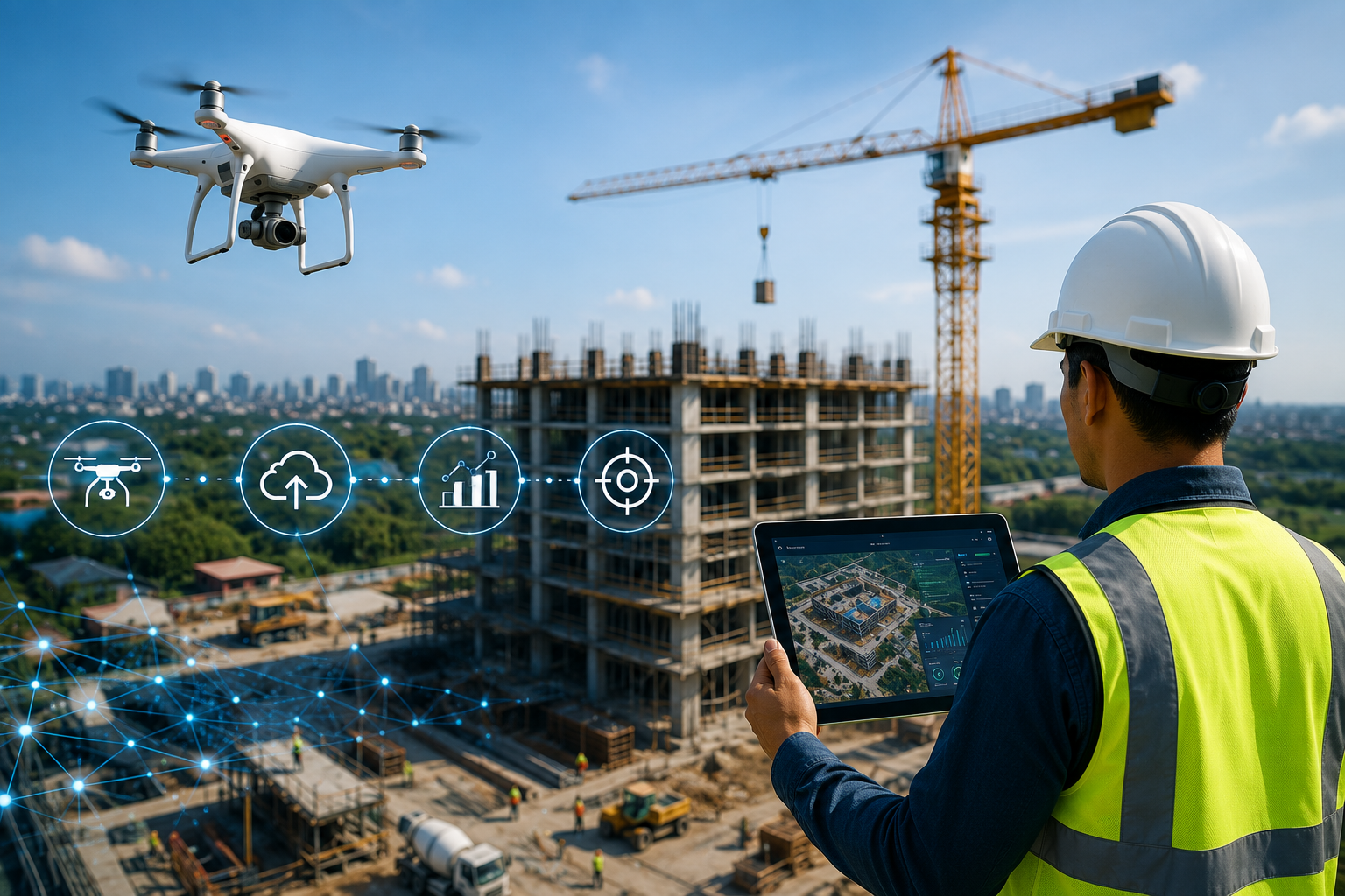
Construction Progress Monitoring Services are a collection of services that utilize drones, combined with mapping and surveying technologies, to capture high-definition images and data at various points in a project’s lifecycle.
Rather than relying solely on ground inspections, Skyelink can perform drone flights to capture the entire job site. Skyelink can produce reports, site maps, videos, and 3D models to help project teams visualize progress over time. Skyelink also offers routine site monitoring, aerial site photography, stockpile surveys, site topographic surveys, and tailored site management cover reports.
To summarize, our services save you from the time and hassle of walking the site. You can virtually cover the entire site in one click.
Why Traditional Construction Site Monitoring Has Its Limits
Many construction companies still rely on manual inspections and written reports. While these methods remain useful, they often leave important gaps.
Consider a scenario where you are overseeing the construction of a multi-acre warehouse. One of the subcontractors informs you that the grading work has been completed. Another subcontractor reports that the drainage work is yet to be completed. Without real-time aerial images, confirming these reports can take hours of walking the site.
Traditional inspections often create challenges such as:
| Traditional Monitoring | Drone-Based Monitoring |
| Limited site visibility | Complete aerial coverage |
| Manual documentation | Digital visual records |
| Time-consuming inspections | Fast site capture |
| Difficult progress comparison | Easy week-to-week comparisons |
| Higher safety exposure | Reduced need for frequent site access |
What this really means is that better data leads to better decisions.
How Skyelink Uses Drone Construction Progress Monitoring to Improve Accuracy
Large construction projects change every day. Equipment moves, structures rise, and earthwork progresses quickly. Keeping everyone informed requires consistent updates.
Skyelink offers drone flights that are scheduled to occur at regular intervals. Each flight is repeated over the same areas, allowing for more precise contrast over the course of days, weeks, and months. More services are offered as well, such as high-res uploads, videos, and “snapshots” of progress that are more tailored to construction site managers and owners.
This method offers several advantages, including:
- Aerial documentation that is much easier to capture over large, difficult-to-access areas.
- A fast construction progress report for construction site stakeholders.
- Easier contact for the construction site teams with the people who manage the progress tracking.
- Continued site access over the course of construction greatly reduces the need for frequent site visits.
For a construction manager tasked with several concurrent development sites, this greatly reduces the need to travel to multiple sites to assess construction progress as well, and helps to identify and resolve construction issues more readily.
Technologies That Make Construction Progress Monitoring Services More Accurate
Collecting aerial images is only one part of effective construction monitoring. The real value comes from turning that information into useful data that helps your team make informed decisions.
That is why Skyelink integrates cutting-edge drones with mapping technologies that take precise measurements, build 3D models, and capture visual records at each step of the construction process. These technologies help track construction projects while helping project managers validate the progress with conviction.
Orthomosaic Mapping for Complete Site Visibility
An orthomosaic map is a compilation of hundreds of aerial images into a single job site high-resolution orthophoto.
This allows you to:
- Monitor the progress of the job site week to week
- Confirm the progress
- Provide visual project updates to stakeholders
- Record the different phases of the construction process
The orthomosaic map also allows for better viewing and comparison of progress with an entire job site update instead of the numerous individual site progress photographs.
LiDAR Construction Survey for High-Precision Measurements
For some projects, standard aerial photographs and orthophotography are not sufficient. Large construction projects, especially those that are infrastructure-based, earthwork-based, and land development-based, often require precise elevation data.
For a LiDAR construction survey, laser technology is employed to measure terrain and record the changes in slopes and surface pertaining to construction with survey-grade accuracy.
According to Skyelink, this even helps construct:
- Topographic Maps
- Surface and Terrain Contour Models
- Volume Surveys
- An Integrated BIM workflow
This helps construction teams mitigate the issues related to design changes due to grading later on in the project.
UAV Construction Monitoring Supports Better Planning
Modern drone programs provide much more than aerial photography.
With UAV construction monitoring, your team can collect:
- High-resolution aerial imagery
- Progress videos
- 3D models
- Stockpile measurements
- Digital terrain models
- Inspection records
Because data is collected on a consistent schedule, everyone works from the same information. That reduces misunderstandings and improves collaboration between contractors, engineers, and owners.
How Better Monitoring Helps Your Construction Team
Every construction project depends on timely decisions. When accurate information arrives late, small issues can become expensive ones.
Here’s how drone-based monitoring helps.
| Project Need | How Drone Monitoring Helps |
| Site visibility | Complete aerial coverage of the project |
| Weekly reporting | Consistent visual documentation |
| Stakeholder updates | Easy-to-share reports and imagery |
| Earthwork tracking | Accurate volume calculations |
| Safety oversight | Inspect difficult areas remotely |
| Schedule management | Compare progress across milestones |
For example, imagine a highway construction project with several subcontractors working at the same time. Weekly Aerial site surveys allow the project manager to verify completed grading, monitor material stockpiles, and identify schedule changes before they affect the next phase of work. Instead of relying on multiple manual reports, everyone reviews the same aerial data. This creates clearer communication and faster decision-making.
Better Data Leads to Better Construction Decisions
Construction projects become easier to manage when you have reliable information at every stage.
Using a combination of services, including Construction Progress Monitoring, Aerial construction monitoring, Drone construction services, Construction Survey Drone Services, and new mapping technologies, Skyelink empowers project teams to better visualize and document progress and quickly adapt to changing conditions. Along with innovative mapping techniques, their extensive nationwide network offers repeat drone flights, topographic mapping, LiDAR surveys, and tailored reporting services for a broad range of sectors, including commercial, civil, infrastructure, and renewable energy.
To enhance project oversight, consider implementing consistent aerial monitoring services. This will promote time savings, minimize rework, and improve project timelines.
Frequently Asked Questions
What are Construction Progress Monitoring Services?
Construction Progress Monitoring Services help project teams track construction using drones and aerial imagery to create illustrated reports of site progress.
How does drone construction progress monitoring improve project management?
Drone construction progress monitoring helps project managers view site progress over time and find challenges before they become issues.
Why is LiDAR useful in construction projects?
LiDAR construction surveys provide highly precise data on elevations and site terrain and help with earthwork calculations, grading, and topographic surveys as well as construction of site models and drawings.
Which industries benefit from aerial construction monitoring?
Aerial monitoring and mapping services help construction and engineering firms, and especially those in commercial construction, civil engineering, infrastructure, and renewable energy.
How often should a construction site be monitored?
Construction teams often choose to have drones fly to sites weekly or at the completion of project milestones. Flying regularly creates documentation that is easy to compare over the duration of the project.